


Vakinankaratra


The region of Vakinankaratra is located on the highlands of Madagascar, it is the part of southern province of Antananarivo between the volcanic massif of Ankaratra and the river Mania on the edge of the province of Fianarantsoa. Located in the center of the island, it is bounded by:
- to the east by the regions of Alaotra-Mangoro and Atsinanana; to the west by the Menabe region;
- in the north by the regions of Analamanga, Itasy and Bongolava;
- and to the south by the region of Amoron’i Mania.
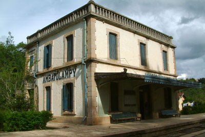
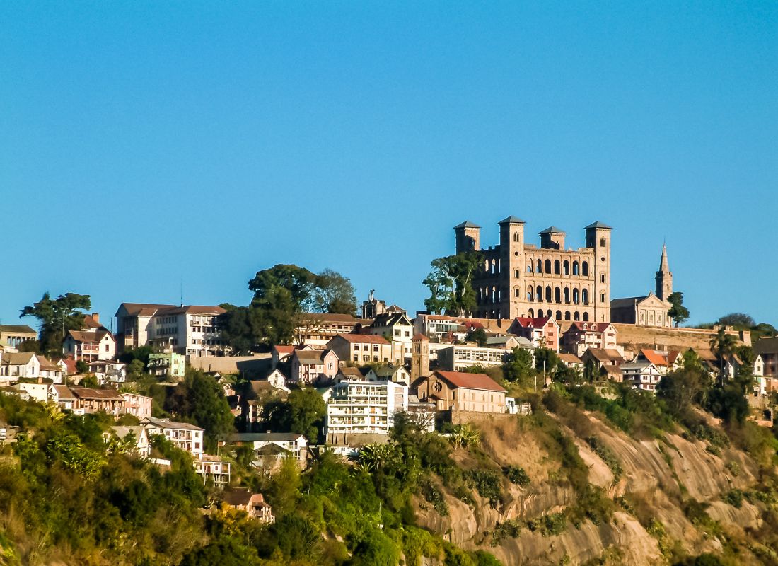
It is subdivided into seven districts: Ambatolampy, Antanifotsy, Antsirabe I, Antsirabe II, Betafo Faratsiho and Mandoto. The capital of the region is Antsirabe I. The region is characterized by the highlands, the more or less steep hills and the massifs Volcanic. It has many springs of thermal water (hot) or mineral still exploited today. The virtues of its waters discovered by two Norwegian missionaries in the XIX century, have attracted illustrious characters. The sovereigns themselves came to treat their Rheumatism. The region covers a total area of 19,098 km².
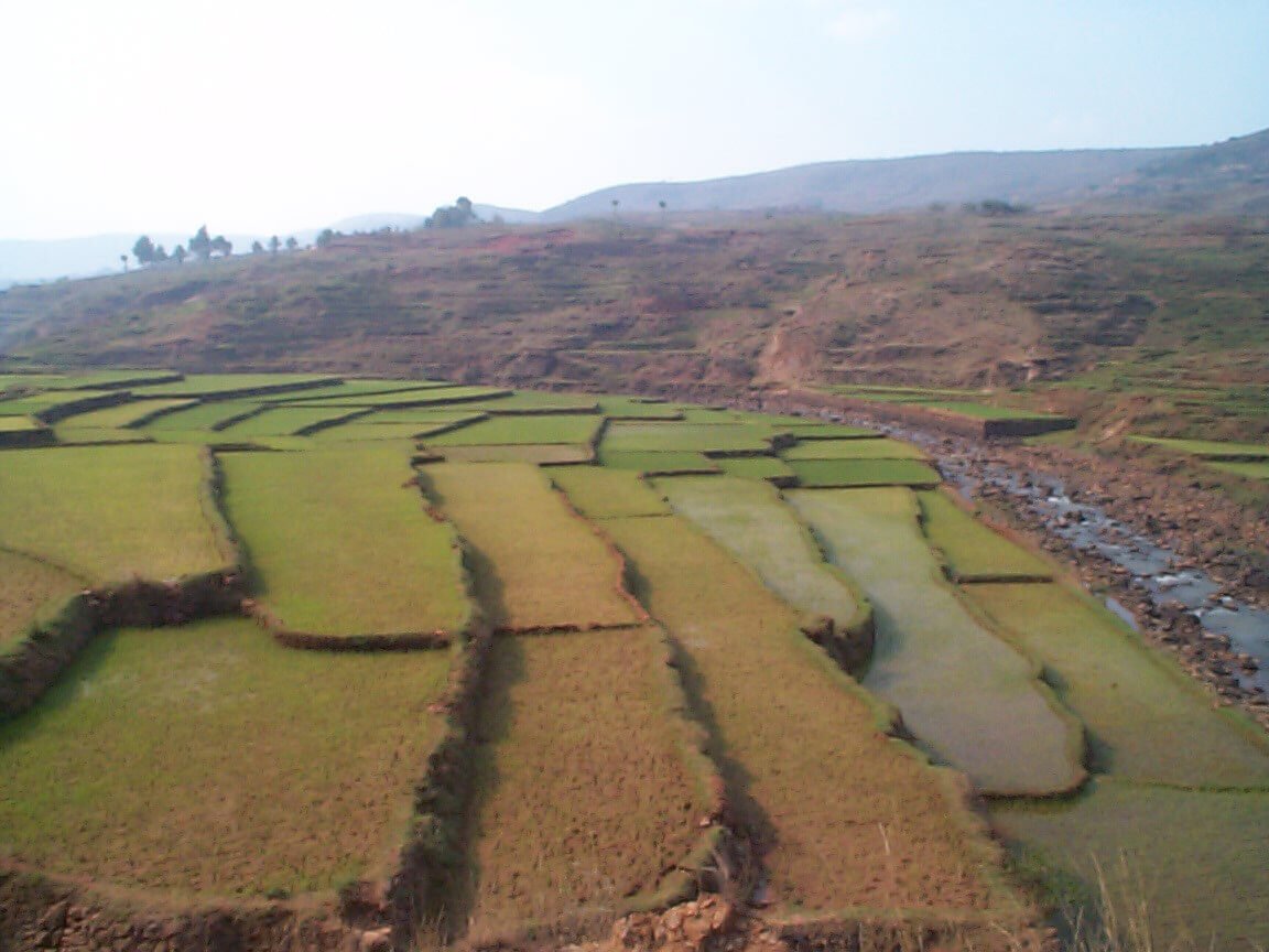
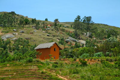
The Vakinankaratra region is part of the highlands. Its relief is distinguished by a higher altitude and it is dominated by volcanic soils including several basins.furnished: Ambohibary and Faratsiho.
Its relief is marked by the existence of three natural areas:
- the Center is characterized by the volcanic massif of Ankaratra where the highest is located altitude of the Province of Antananarivo which culminates at 2,644 meters, the Tsiafajavona;
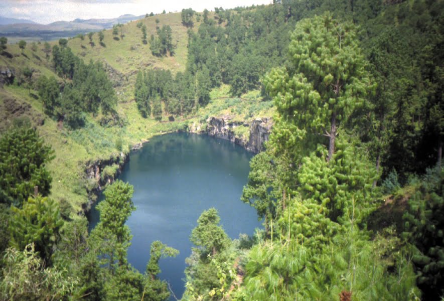
- in the south, the constitution of Ankaratra has caused in the western part a series of collapses favoring the formation of depressions with alluvial bottom and presenting many craters and lakes.
- the southern zone, dominated by the Ibity range, consists of a succession of Small bowls with sandy soil, strewn with quartzite blocks of any size. The Middle West of Vakinankaratra is constituted by the peneplain of Mandoto-Ramaritina where the altitude drops to 1,000 m. The climate of the region is characterized by the existence of three well-individualized seasons:
- a rainy and moderately hot season, from November to March;
- a cool and relatively dry season from May to September;
- a cool and relatively cold season from April to October.
The Vakinankaratra Region is the region with the coolest temperature in all of Madagascar. Its climate is of the “tropical altitude” type in the high parts of the East and Center (Antanifotsy, Antsirabe I and Antsirabe II, Faratsiho, Ambatolampy). The average temperature of the region is 17 °C with a maximum of 25 °C (from October in November) and a minimum of 5°C in June. In the upper eastern and central parts, the average temperatures are around 13°C, with Antanifotsy district averaging 13.7 °C with maxima of 25.8 °C and minima of 1 °C. On the other hand, in the Middle West, the Betafo district records an annual average temperature of 21 °C with highs of 30.8 °C and minima of 10.2 °C. Temperatures do not pose too much risk to the various agricultural speculations, except in high altitudes where some frost damage is recorded one year out of five. The region of Vakinankaratra has 22 weather stations, of which only three are functional.
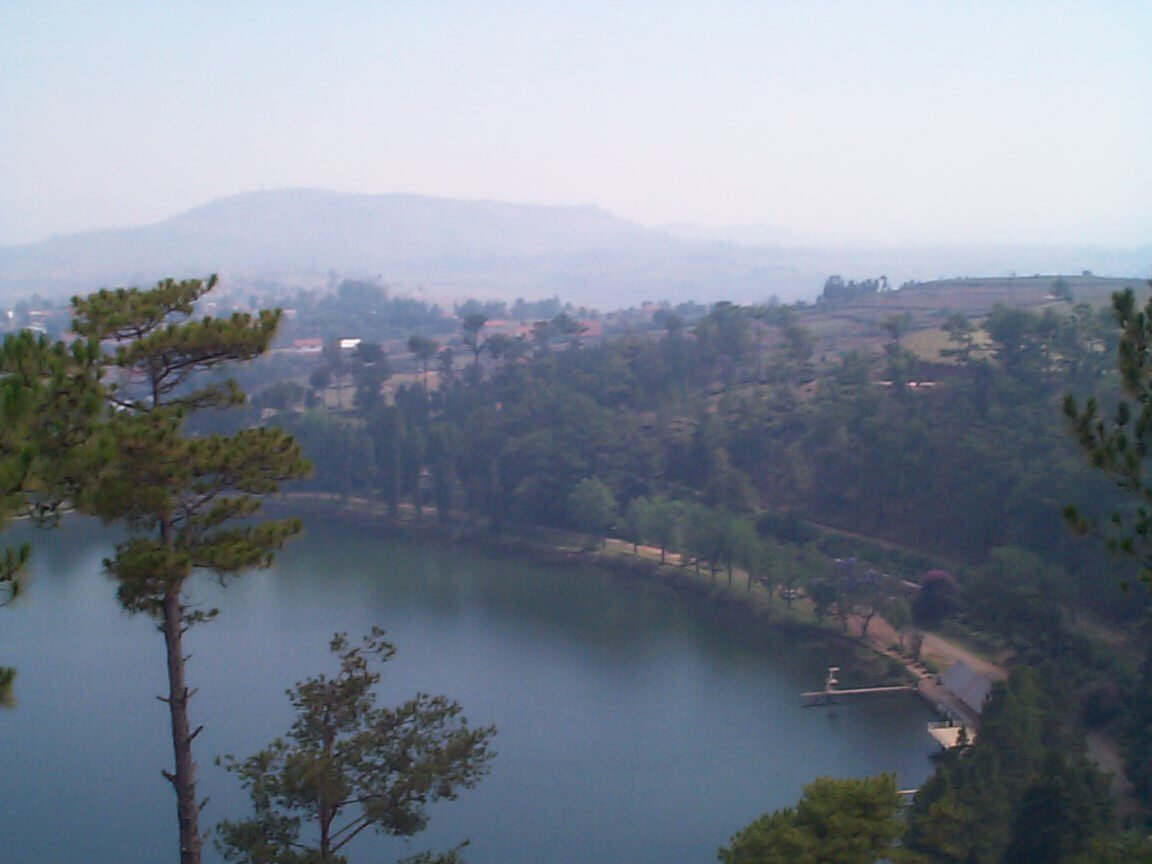
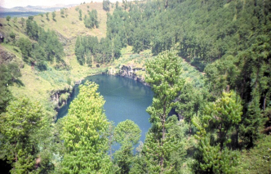
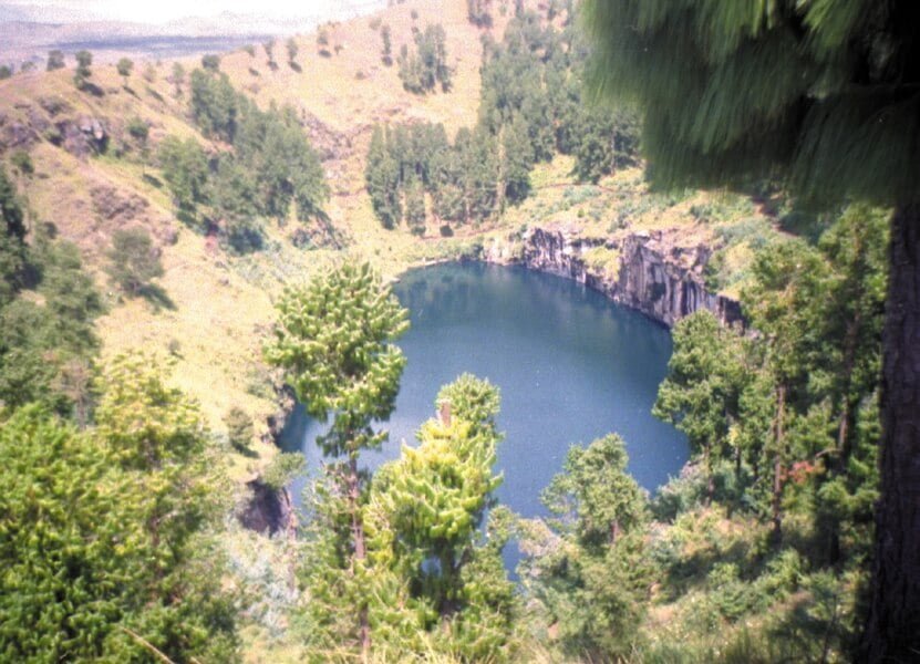
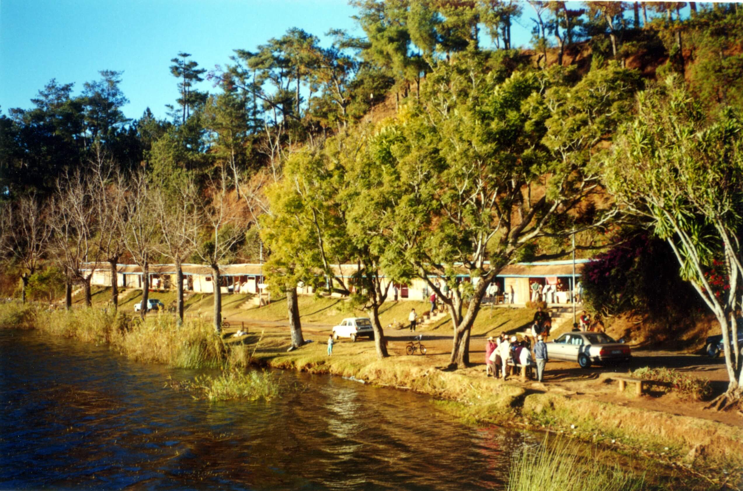
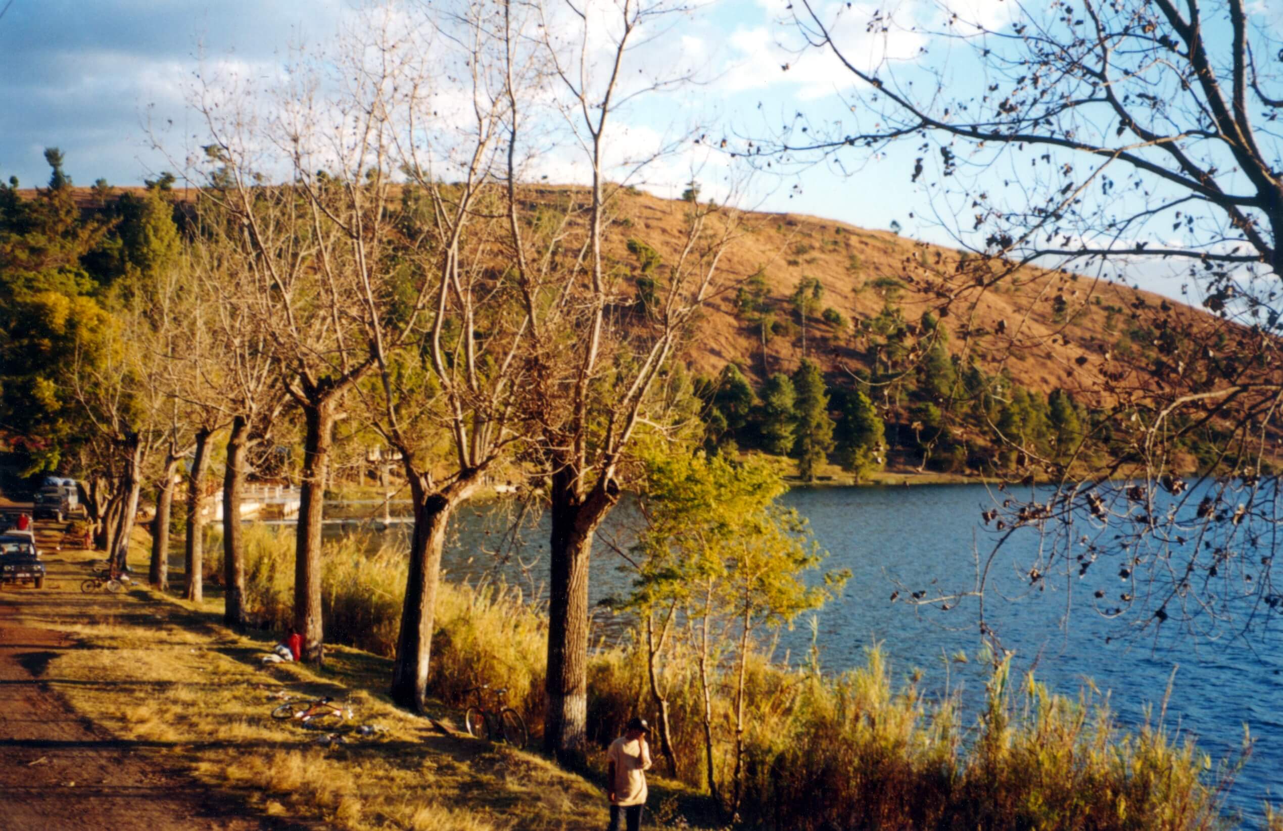
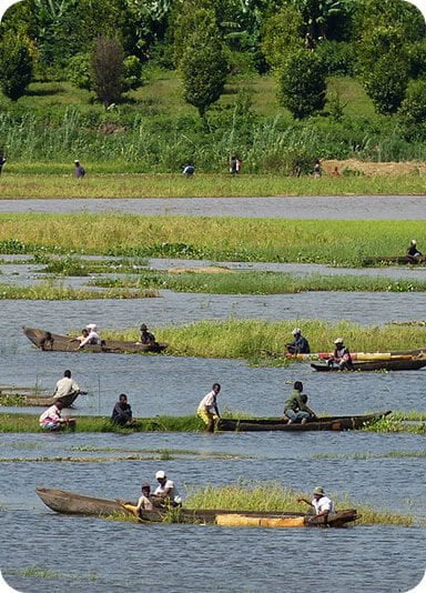
Despite the lack of up-to-date and accurate statistical information on the ethnic composition of the population, it is known that since pre-colonial times, the majority of the inhabitants of the region are of the Merina ethnic group. Because of its proximity to other regions, there is a continuous mixing with other ethnic groups, especially the Betsileo. The climatic similarity between Vakinankaratra, Amoron’i Mania and Matsiatra Ambony partly explain this observation. Vakinankaratra is one of the industrial centers of Madagascar. Thus, one of the particularities of efforts for the development of tourism consist in developing industrial tourism, particularly through visits facilities of major industries in the area. The same applies to artisans’ workshops. In complementarity with the above, several natural sites provide diversified assets to the “Traditional” tourism. These are mainly the Ankaratra and Ibity massifs, the Tritriva lakes, Andraikiba and Andranobe. In addition, health tourism, due to the presence of hot springs, village tourism and sustainable tourism are among the priority areas of the policy tourism development in the region.
Gallery


See also other regions
Historically, Alaotra comes from the name of the large Lake Alaotra located in the middle of the Districts of Ambatondrazaka and Amparafaravola (the largest lake in Madagascar) while Mangoro is the name of the main river crossing Moramanga and Anosibe An’Ala from North to South. The Alaotra Mangoro Region is located on the highlands, about […]
The Amoron’i Mania Region located in the central part of the Southern Highlands (province of Fianarantsoa) consists of four (4) districts, namely Ambatofinandrahana, Ambositra, Fandriana and Manandriana. The region is limited to the north: by the Vakinankaratra region; to the east the region of Vatovavy Fitovinany and; to the south, by the region of Matsiatra […]
Antananarivo Renivohitra is the capital of the Analamanga Region. Antananarivo Renivohitra is the capital of the Analamanga Region. Located in center, and covering an area of 17,448 km². It is bounded by 5 regions: Betsiboka in the North, Itasy and Bongolava to the west, Alaotra Mangoro to the east and Vakinankaratra to the south. By […]
Also known as the “Malagasy capital of cloves1″, the Analanjirofo Region is located in the northeastern part of Madagascar and covers a perimeter of 22,384 km2. It is bounded by: – to the north by the district of Antalaha (SAVA Region); – to the south by the district of Toamasina II (Atsinanana Region) to the […]