Ihorombe
The Ihorombe region is located in south-central Madagascar and is part of the province of Fianarantsoa. It is bounded to the north by the region of Haute Matsiatra, to the south by the region of Anosy, to the east by the region of Atsimo Atsinanana, and to the west by the region of Atsimo Andrefana on a length ranging from 100 km to 120 km, with a width of about 200 km, and an area of 26,930 km2.
The Ihorombe Region consists of three districts: Iakora, Ihosy and Ivohibe; of respective areas: 4,258 km2, 18,372 km2 and 4,300 km2. Its capital is the city of Ihosy, which is located 602 km south of the capital Antananarivo, by taking the RN 7.
There are three main types of landscapes in the region:
the eastern part is marked, to the north and south, by mountainous areas, in particular Ivohibe Mountain (with the 2,060m altitude Ivohibe Peak), to the north, and the beginning of the Andringitra Range, to the south; Between the two mountainous sectors spreads a plain high altitude.
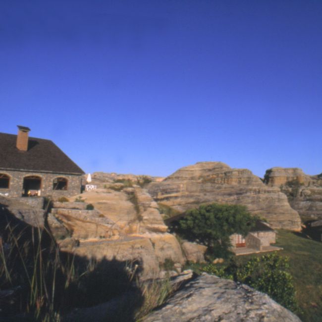
the western part spreads mainly on the Ihorombe plateau (western slope of the central base) which is an immense expanse of hills and meadows of low gradient, at altitudes ranging from 300 to 600 m; the western sector begins a small part of the Isalo Massif, it self located in the Karoo pit; the ruiniform massifs of Isalo offer a canyon landscape, born of erosion of sandstone rocks for thousands of years. Natural forests are found in the northeastern and southeastern sectors of the region, in the Ivohibe and Iakora districts. These are strips of forest attached to the forest corridors of the East (Vondrozo Forest Corridor and South Midongy Forest). But, these forests, which are confined in the extreme east of the region, occupy only a small part of the territory of the region. These bands of forest are populated, for the most part, by bryophytes, lichens, ferns or large trees, according to altitude and relief.
Savannahs occupy most of the territory of the region, from the foot of the mountains from Vohibory in the East to the Isalo plateau in the West. The savannahs of the plateaus of the region is populated mainly by grassy species: andropogons (haidambo) and Aristida (Horona). River beds and wetlands are populated mainly by phragmites bamboo (bararata) and cyperaceae. The massifs of Isalo are populated by a rather peculiar vegetation consisting mainly of Uapaca Bojeri (tapia). Other particular types of vegetation are found on gallery forests bordering river beds and in marshy areas.
In the Ihorombe Region, there are three types of climate:
- a humid tropical climate all year round, on its eastern part of the region (districts of Iakora and Ivohibe);
- a semi-humid tropical climate (tending towards semi-arid), on its western part;
- and a humid tropical climate with low precipitation in the central part, i.e. in the Ihosy District.
The average annual temperature recorded in Ihosy, the capital which is located in the center of the region, is 21 °C. But, the temperature varies significantly from East to West. The eastern part is relatively colder, with an average temperature of less than 20 °C. It’s warmer to measures that we are moving westward where the average temperature reaches 27°C.
The Ihorombe Region is the territory of the Bara. But other ethnic groups are present in the region, including Merina, Betsileo, Antandroy and Antesaka. The Ihorombe Region has a world-renowned tourist destination, namely,Isalo, with the fantastic landscape of its ruiniform massifs. To this is added the Pic d’Ivohibe in the Ivohibe Special Reserve and the Kalambatritra Special Reserve in the Iakora District. But, other sites in the area are potential tourist destinations.
Potential tourism resources include:
- the source of Andranonjanahary in the commune of Ivongo district of Ivohibe;
- the limestone cave of Ivohibe, in the commune of Ivohibe, district of Ivohibe;
- the Paradisa of Zazafotsy in the commune of Zazafotsy, district of Ihosi;
- the rock of Ifandrana, in the commune of Zazafotsy, district of Ihosi;
- the residence of King Lahitafiky in the city of Ihosy. The great sacred tamarind trees, in the city of Ihosy;
- the residence of King Ramieba in the commune of Ranohira, Ihosy district;
- the site of Soava Madiolanitra ;
- the sapphire circuit in Inakakaka;
- Andranomilitsy Ilempo Ankily Cave, Ihosy.
Gallery
See also other regions
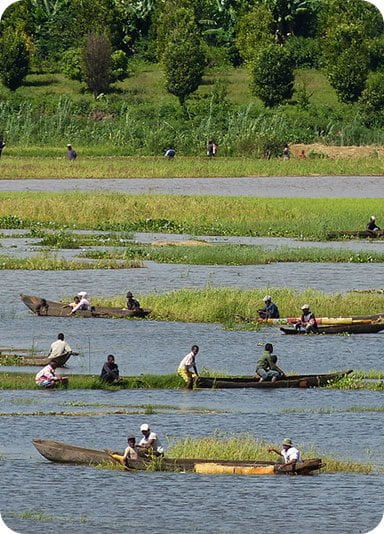
Historically, Alaotra comes from the name of the large Lake Alaotra located in the middle of the Districts of Ambatondrazaka and Amparafaravola (the largest lake in Madagascar) while Mangoro is the name of the main river crossing Moramanga and Anosibe An’Ala from North to South. The Alaotra Mangoro Region is located on the highlands, about […]
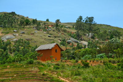
The Amoron’i Mania Region located in the central part of the Southern Highlands (province of Fianarantsoa) consists of four (4) districts, namely Ambatofinandrahana, Ambositra, Fandriana and Manandriana. The region is limited to the north: by the Vakinankaratra region; to the east the region of Vatovavy Fitovinany and; to the south, by the region of Matsiatra […]
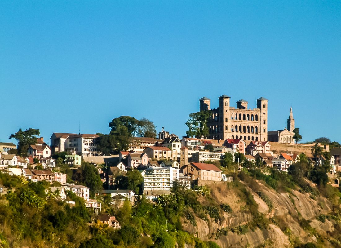
Antananarivo Renivohitra is the capital of the Analamanga Region. Antananarivo Renivohitra is the capital of the Analamanga Region. Located in center, and covering an area of 17,448 km². It is bounded by 5 regions: Betsiboka in the North, Itasy and Bongolava to the west, Alaotra Mangoro to the east and Vakinankaratra to the south. By […]
Also known as the “Malagasy capital of cloves1″, the Analanjirofo Region is located in the northeastern part of Madagascar and covers a perimeter of 22,384 km2. It is bounded by: – to the north by the district of Antalaha (SAVA Region); – to the south by the district of Toamasina II (Atsinanana Region) to the […]


