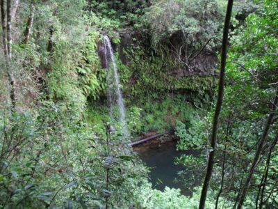
Diana
The region of DIANA is located in the province of Antsiranana located on the northern part of Mada gascar. Its coordinates are between 11 °C and 15 °C south latitude and 47 °C and 50 °C east longitude, covering a territory of 20,942 km2 or 3.6% of the entire Big Island. It borders the SAVA region in its eastern part and that of SOFIA in its southern part. The region has access on its western part to the Mozambique Channel and on its eastern part to the Indian Ocean. The capital of the region, Antsiranana I which is at the same time a district and a commune is 1,173 km from the capital.
The region has access on its western part to the Mozambique Channel and on its eastern part to the Indian Ocean. The capital of the region, Antsiranana I, which is at the same time a district and a commune is 1,173 km from the capital. The region is composed of 5 districts : Antsiranana I and II, Ambanja, Ambilobe and Nosy Be. The name of the region comes from the initials of the districts that compose it (Diégo, Ambanja, Nosy Be, Ambilobe). The region has the particularity of containing the district of Nosy Be which is an island of 311 km2. Apart from the districts of Nosy Be and Antsiranana, the average area of the districts is around 4,000 km2. The average annual temperatures of the region are relatively high all year round. For stations located by the sea, annual averages vary between 25 ° C for Ambanja and 20 ° C to 26 ° C for Antsiranana.
As in the case of Madagascar as a whole, the agriculture sector remains the sector that employs the most workers in the region. Agriculture employs 67.4% of all female workers and 69.3% of male workers. In other sectors, sales and services are the most important for women and manual work for men. The structure of occupation is similar at national level, but with a lower proportion in agriculture in the region, explained by a smaller proportion of the population living in rural areas.
Given the rainfall, the presence of vast fertile plains, the rivers of Sambirano and Mahavavy and the volcanic soils of Nosy-Be and the mountain of Amber, the region of DIANA has an important agronomic potential. It has a large cultivable area. Small textile processing units are the most predominant in the region with a number of 244. The large part is in the large city of Antsiranana with 120 units. These textile processing units represent 66% of all units in the region and 16.9% for those in Madagascar. The processing of wood, fibres and horns also plays a fairly important role, accounting for 11.9 per cent of processing units in the region and 7.4 per cent of those in Madagascar. Similarly, lapidaries and jewellery shops account for 12.7 per cent of processing units in the region and 6.7 per cent of those in Madagascar. This analysis shows the importance of handicrafts and manual work in the region in terms of employment. Trade is one of the dominant economic activities in the region because of its strong agricultural vocation, particularly in the districts which produce industrial and cash crops. The proximity of markets is therefore an element in the incentive for producers to produce. Here are some of the most popular tourist sites in the region: – the Three Bays: it is a succession of 3 bays on the east coast located on the Indian Ocean. They are bordered by a long white sandy beach. Sakalava Bay is a favourite spot for snowboarders. Dunes Bay and Pigeon Bay are accessible from Sakalava Bay or Mined Cape; – The Bay of the Courier: West of Diego Suarez, on the side of the Mozambique Channel the Bay of the Mail offers a captivating landscape because of its wild beauty and its tourist attractions in terms of ecotourism: expanses of mangroves, salt marshes, baobabs, pachypodiums; – the Emerald Sea: The shallow depth of water combined with a sandy bottom gives a turquoise hue to this small inland sea bordered by very infrequent white sand beaches; – the marine reserve of Nosy hara: The archipelago of Nosy Hara consists of islets that are formed of tsingy (very cut limestone), beaches located in the Mozambique Channel.
You can climb it almost all year round (except January and February during the heat and humidity); – Ramena beach: located 19 km from Diego Suarez, this site is fringed by 3 km of white sand beach typical of coral seas; – Amber Mountain National Park: This massif offers a humid tropical climate and is home to an abundant fauna and flora that are typical of the humid forests of Madagascar. Several animal species are present. Among others we can mention the crowned lemur, the Mute Brookesia, the red mouse lemur, the smallest primate in the world, the carnivorous mammalian Fosa, butterflies, boas; – the Mountain of the French: it is the necropolis of the former colonizers. So named because of the fighting that opposed the French colonial forces to the English in 1942; 127 –. Species unique in the world have evolved there, and have adapted as the case may be, to drought or darkness. In the caves that served as refuges for the Antankarana, one can observe Stalagmites, Stalactites and draperies of calcites. . Many cavities have a sacred character, because they contain the royal burials of the Antankarana; – the Red Tsingy: they are located southeast of Diego and consist of sandstone, marl and limestone, just at the foot of eroded canyons, within the only sedimentary basin of Madagascar and a heterogeneous vegetation; – Dzamandzar SIRAMA sugar factory (open since 1920) which is a historical monument despite its eternal operation; – Lokobe: It is the last primary forest of Nosy Be rich in many varieties of medicinal plants and endemic to Madagascar and its thousand-year-old trees. Protected site, this forest, which is the happiness of many scientists will discover a dense entity of tropical forest ; – Nosy Komba- Nosy Tanikely: Nosy Komba (lemur island) is the 2nd largest island after Nosy Be, with the visit of the Lemurs Park and the fishing village and its traditional canoes. Nosy Tanikely is a protected underwater nature reserve; – Nosy Sakatia : This very preserved island on the west side of Nosy Be, hides sites very appreciated by scientists and ornithologists.
Gallery
See also other regions
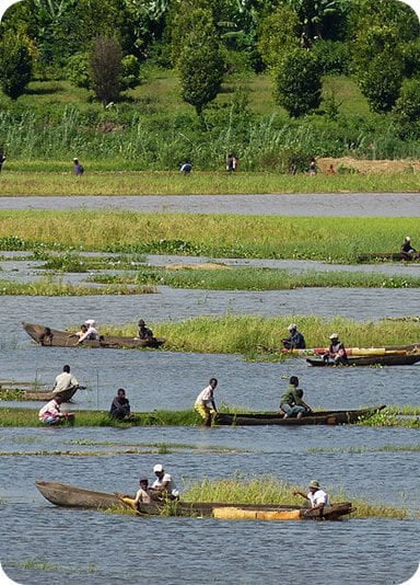
Historically, Alaotra comes from the name of the large Lake Alaotra located in the middle of the Districts of Ambatondrazaka and Amparafaravola (the largest lake in Madagascar) while Mangoro is the name of the main river crossing Moramanga and Anosibe An’Ala from North to South. The Alaotra Mangoro Region is located on the highlands, about […]
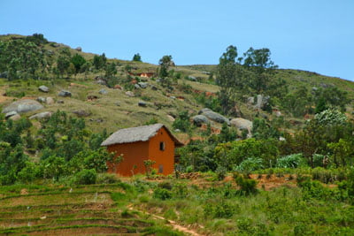
The Amoron’i Mania Region located in the central part of the Southern Highlands (province of Fianarantsoa) consists of four (4) districts, namely Ambatofinandrahana, Ambositra, Fandriana and Manandriana. The region is limited to the north: by the Vakinankaratra region; to the east the region of Vatovavy Fitovinany and; to the south, by the region of Matsiatra […]
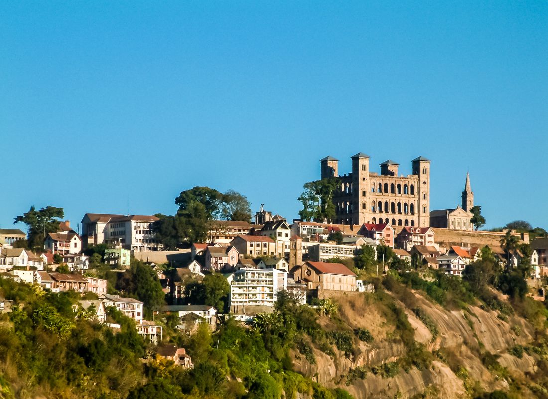
Antananarivo Renivohitra is the capital of the Analamanga Region. Antananarivo Renivohitra is the capital of the Analamanga Region. Located in center, and covering an area of 17,448 km². It is bounded by 5 regions: Betsiboka in the North, Itasy and Bongolava to the west, Alaotra Mangoro to the east and Vakinankaratra to the south. By […]
Also known as the “Malagasy capital of cloves1″, the Analanjirofo Region is located in the northeastern part of Madagascar and covers a perimeter of 22,384 km2. It is bounded by: – to the north by the district of Antalaha (SAVA Region); – to the south by the district of Toamasina II (Atsinanana Region) to the […]
