


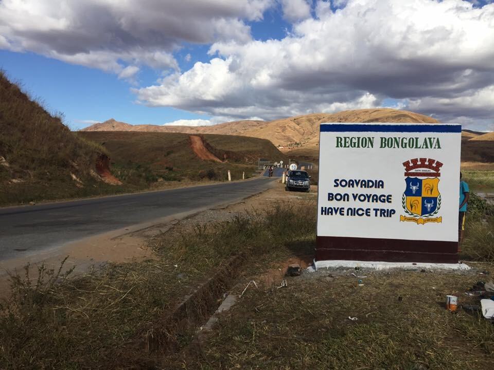
Bongolava
The Bongolava region is part of the Middle West of the faritany of Antananarivo. It is bordered by the West North-West by the faritany of Mahajanga, Melaky region, Morafenobe district, and Ambatomainty (667 km from the sea coast of Maintirano), to the south-east by the region of Analamanga district of Ankazobe, to the east by the region of Itasy, to the south by that of Vakinankaratra, district of Betafo, and west southwest by the region of Menabe, district of Miandrivazo.
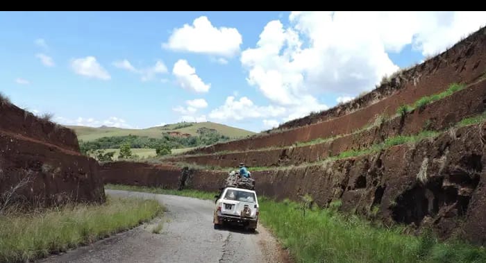
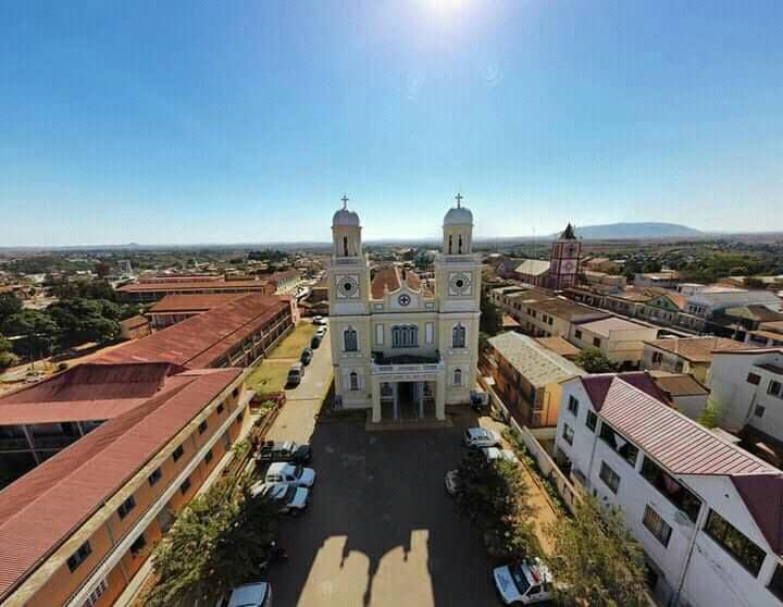
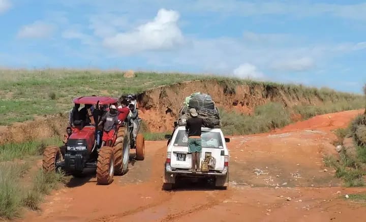
The regional capital, Tsiroanomandidy, is located 219 km from Antananarivo. The Bongolava region consists of two districts. The district of Tsiroanomandidy which covers 10,199 km² and that of Fenoarivobe which covers 7,784 km². The Bongolava region covers a total area of 17 983 km². Tsiroanomandidy is connected to the regional capital of Antananarivo by the national road n°1. The RN1 bis connects it to the district of Morafenobe, Ambatomainty and Maintirano of the region of Majunga.
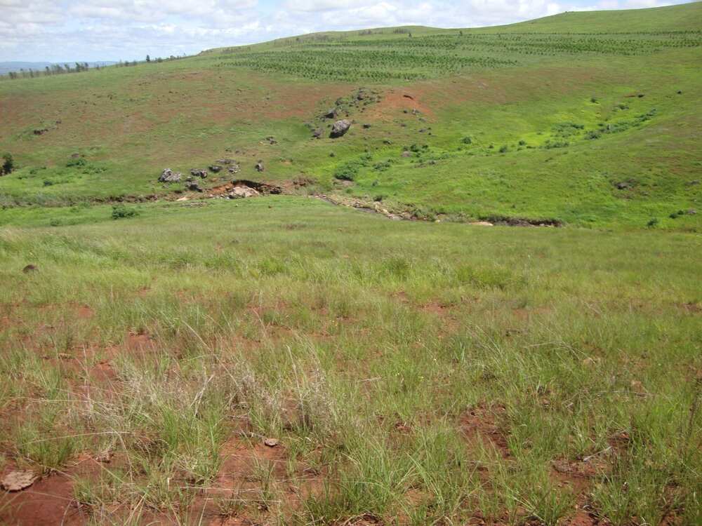
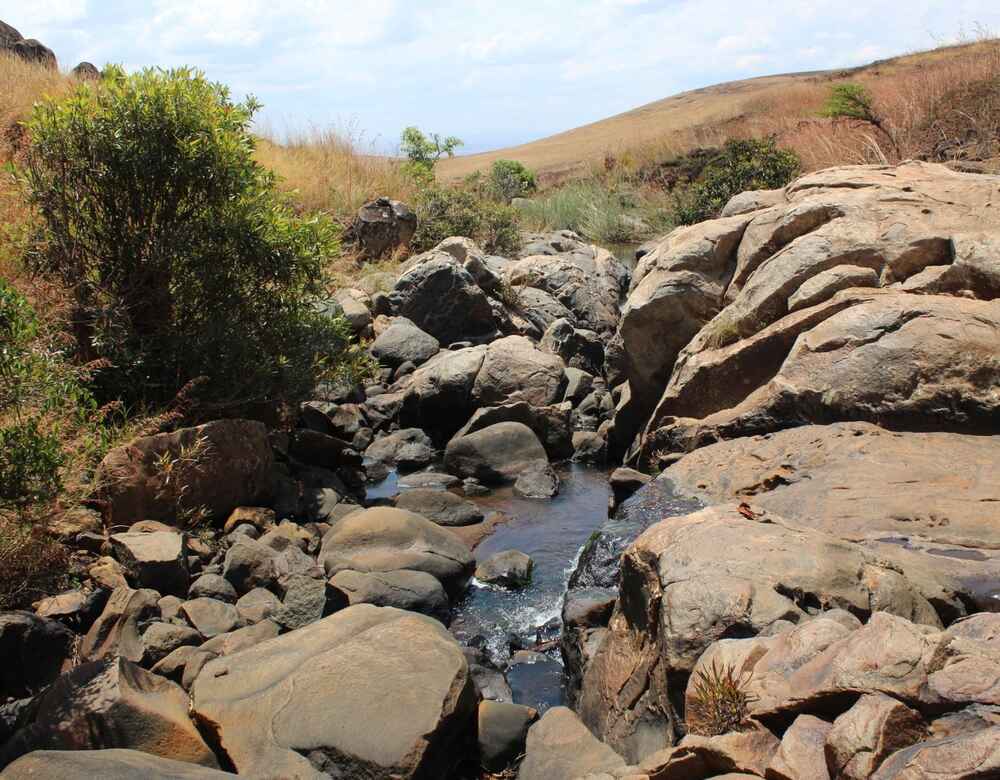
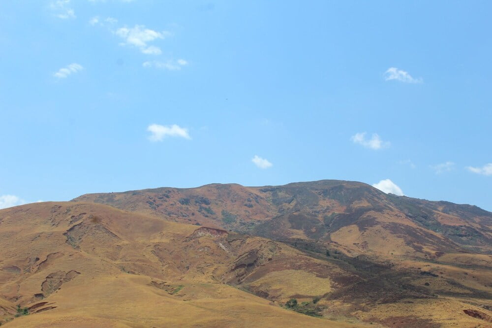
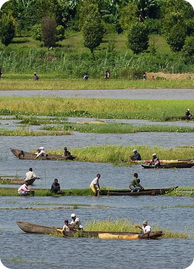
The natural ecosystems of the Bongolava Region occupy 95.22% of the total areaof the region of which: 88.85% herbaceous formations, 5.90% forest formations and 0.47% bodies of water he Bongolava region is part of the tropical climate regime of altitude, above 900 meters. It is characterized by an average annual temperature less than or equal to 20 °C. The year has two well-individualized seasons, one rainy (wet and hot season), November in March with a temperature that varies from 20 °C to 30 °C and the other cool and dry from mid-April to mid-October temperature 13 °C to 26 °C and even more. There are many subclimates. Average annual temperatures also vary with altitude, the highest are observed on the western slope where cloudiness is reduced and sunshine intense.
The regions of Bongolava and Itasy are the regions of the Middle West where there is the most varied ethnic composition of the province of Antananarivo. The regions of Bongolava and Itasy are the regions of the Middle West where there is the most varied ethnic composition of the province of Antananarivo. Merina and Betsileo predominate, are found everywhere. and are found everywhere. The Merina settled mainly on the former colonial lands of Miarinarivo and Soavinandriana, and along National Road No. 1, as well as along the axis Firavahana-Fenoarivobe.
The Betsileo on the other hand occupy the western slope of Tsiroanomandidy, which is their land of predilection. Practicing extensive breeding, the Bara, Antandroy and Mahafaly roam the vast unoccupied areas in search of pasture. Finally, the Sakalava, Tsimihety and Betsimisaraka form less than 5% of the population. The Bara and the Antandroy settle preferentially in the Middle West (Mandoto, Ankazomiriotra).
Gallery

See also other regions
Historically, Alaotra comes from the name of the large Lake Alaotra located in the middle of the Districts of Ambatondrazaka and Amparafaravola (the largest lake in Madagascar) while Mangoro is the name of the main river crossing Moramanga and Anosibe An’Ala from North to South. The Alaotra Mangoro Region is located on the highlands, about […]
The Amoron’i Mania Region located in the central part of the Southern Highlands (province of Fianarantsoa) consists of four (4) districts, namely Ambatofinandrahana, Ambositra, Fandriana and Manandriana. The region is limited to the north: by the Vakinankaratra region; to the east the region of Vatovavy Fitovinany and; to the south, by the region of Matsiatra […]
Antananarivo Renivohitra is the capital of the Analamanga Region. Antananarivo Renivohitra is the capital of the Analamanga Region. Located in center, and covering an area of 17,448 km². It is bounded by 5 regions: Betsiboka in the North, Itasy and Bongolava to the west, Alaotra Mangoro to the east and Vakinankaratra to the south. By […]

Also known as the “Malagasy capital of cloves1″, the Analanjirofo Region is located in the northeastern part of Madagascar and covers a perimeter of 22,384 km2. It is bounded by: – to the north by the district of Antalaha (SAVA Region); – to the south by the district of Toamasina II (Atsinanana Region) to the […]