


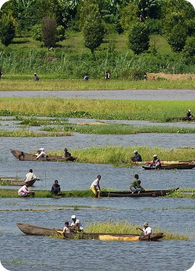
Boeny

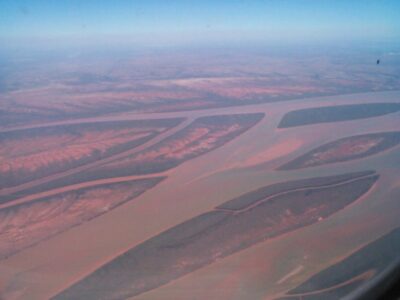
Located on the northwestern coastal part of Madagascar with a length of 690 km of coastline, the Boeny Region is endowed with significant tourism and economic potential. It is classified as the second granary of Madagascar and the first shrimp town. The Boeny Region is bounded to the north by the Sofia Region, to the east by the Betsiboka Region, to the south by the Melaky Region.It is composed of six Districts including Mahajanga I as the chief town of the region, Mahajanga II in the North, Soalala in the extreme Southwest, Mitsinjo in the West, Marovoay in the Centre-South and Ambato Boeny to the East.
The region is also rich in protected areas which are distributed as follows:
- in the districts of Ambato Boeny/Marovoay Ankarafantsika (National Park) 135,520 ha;
- in the district of Soalala, the Tsingy de Namoroka (National Park) 21,742 ha and the Bay of
- Baly (National Park) 57,418 ha;
- in the district of Mitsinjo, the “Mahavavy-Kinkony Complex” 276,836 ha.
The climate of the region is tropical dry, strongly influenced by the monsoon with an alternation of 7 months of dry season from April to October, and 5 months of rainy season, which spreads out from October to April. Average temperature annual is 31 °C. The population of the region is composed of disparate ethnicities and races, including in major urban centers such as Mahajanga city and Marovoay. However, the predominance
of the Sakalava ethnic group on the coastal areas is more marked, as well as that of immigrants from highlands in the central part in Marovoay and Ambato Boeny”. Historically, this part of Madagascar is one of those that have had the most exchanges and local relations as well than external. This explains these different origins of the inhabitants of Boeny.
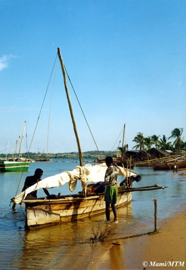
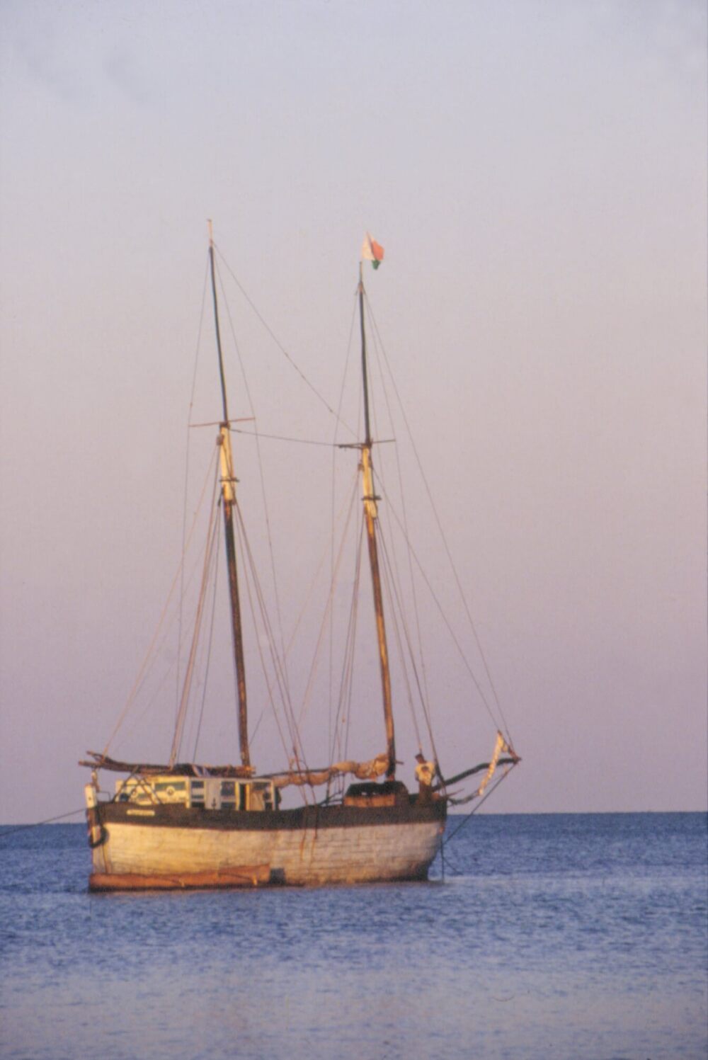
The region of Boeny is home to the port of Mahajanga which is the second port of Madagascar, plate rotating cabotage along the West Coast. The port of Mahajanga handles between 6 to 9.4% of container traffic and between 11 and 54.3% of port traffic of “botry” during the same period. Including the regional capital Mahajanga, the Boeny region is privileged in industries and crafts. The industries are mainly located in the city of Mahajanga I. They are all light industries where raw material processing activities predominate in view of internal consumption (80% agri-food, carpentry and sawmill, metal work, lapidary-jewellery, textiles and clothing, woodworking). Mahajanga is connected to the capital and other localities, including some capitals of the Sub-prefecture of the Province by air. The operation of regular lines highlights the quantitative importance of the links with the southern zone (Besalampy-Maintirano …) where the maximum traffic is logged. Lines international transit through Mahajanga, transporting mainly Comorians for transactions commercial (DZAOUDZI – Mahajanga-La Réunion).
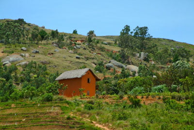
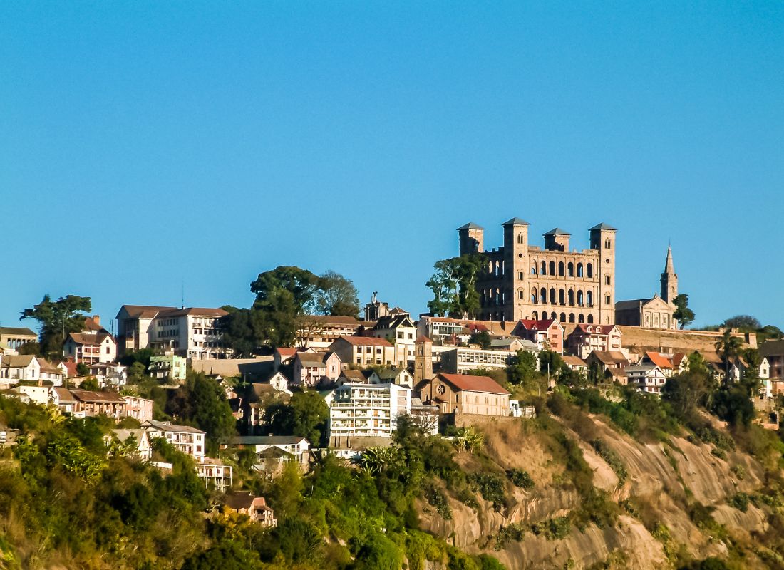
The Boeny Region is extremely endearing and rich in a very dense historical, cultural and environmental heritage. The discovery of this diversity makes the region one of the most famous areas for tourism. From the capital, by road, the west is still a rather long journey. We there accesses after crossing mountains, plateaus, large grassy plains, then the savannah planted with graceful palm trees. If Mahajanga can not compete with Nosy-Be as a seaside resort, the sea, the sun can provide relaxation and good weather. Being outside the big circuits offered by the Tours Operators can be a certain charm and attraction. In addition, many small circuits very diversified can be offered within the Province. The population, mostly young, does not resist the phenomenon of tourism, the On the contrary, we feel a certain desire for communication. The safety of tourists did not pose a problem with local authorities.
Tourist circuits
- City tours;
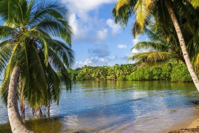
- Beaches of the tourist village and Ambrovy;
- Boulevard Mareor de la Corniche;
- The port with dhows and visit of old Arab houses, Indian of the eighteenth century;
- The streets of Mahabibo;
- Cathedrals, mosques and churches;
- Factory visits: SOMAPECHE, SOPEBO, FAMAMA etc.
- Circuits at sea
- To the north, towards the bay of Narindra and the RADAMA islands via the coves and
- the Tsingy of Ambondro-Ampasy and particularly the beaches of Pointe Maromony (fishing
- submarine);
- South of Baly Bay: Soalala;
- The other circuits;
- Soalala region to discover the Tsingy of Mamoroka
Gallery


See also other regions
Historically, Alaotra comes from the name of the large Lake Alaotra located in the middle of the Districts of Ambatondrazaka and Amparafaravola (the largest lake in Madagascar) while Mangoro is the name of the main river crossing Moramanga and Anosibe An’Ala from North to South. The Alaotra Mangoro Region is located on the highlands, about […]
The Amoron’i Mania Region located in the central part of the Southern Highlands (province of Fianarantsoa) consists of four (4) districts, namely Ambatofinandrahana, Ambositra, Fandriana and Manandriana. The region is limited to the north: by the Vakinankaratra region; to the east the region of Vatovavy Fitovinany and; to the south, by the region of Matsiatra […]
Antananarivo Renivohitra is the capital of the Analamanga Region. Antananarivo Renivohitra is the capital of the Analamanga Region. Located in center, and covering an area of 17,448 km². It is bounded by 5 regions: Betsiboka in the North, Itasy and Bongolava to the west, Alaotra Mangoro to the east and Vakinankaratra to the south. By […]
Also known as the “Malagasy capital of cloves1″, the Analanjirofo Region is located in the northeastern part of Madagascar and covers a perimeter of 22,384 km2. It is bounded by: – to the north by the district of Antalaha (SAVA Region); – to the south by the district of Toamasina II (Atsinanana Region) to the […]