


Atsimo Atsinanana

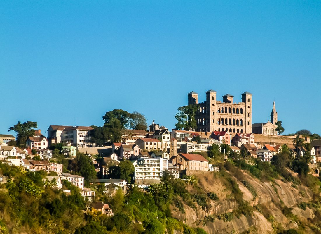
The Atsimo Atsinanana Region, which literally means Southeast, is located, as its name suggests, in the southeastern part of Madagascar and is part of the province of Fianarantsoa. It is bounded to the north by the region of Vatovavy Fitovinany, to the south by the region of Anosy, to the east by the Indian Ocean and to the West by the regions of Haute-Matsiatra and Ihorombe. The Atsimo Atsinanana Region consists of five districts: Befotaka-Atsimo, Farafangana, MidongyAtsimo, Vangaindrano and Vondrozo. Its capital, the city of Farafangana, is about 700 km from the capital Antananarivo.
The average temperature is about 22 °C during the year, with moderate variations depending on the seasons. It is generally above 25 ° C during the austral summer (from November to April) and turns around 20 ° C during the austral winter (from May to October). In Farafangana, the capital of the region,the temperature is maximum in February, with 29 °C, and minimum in July, with 15 °C.
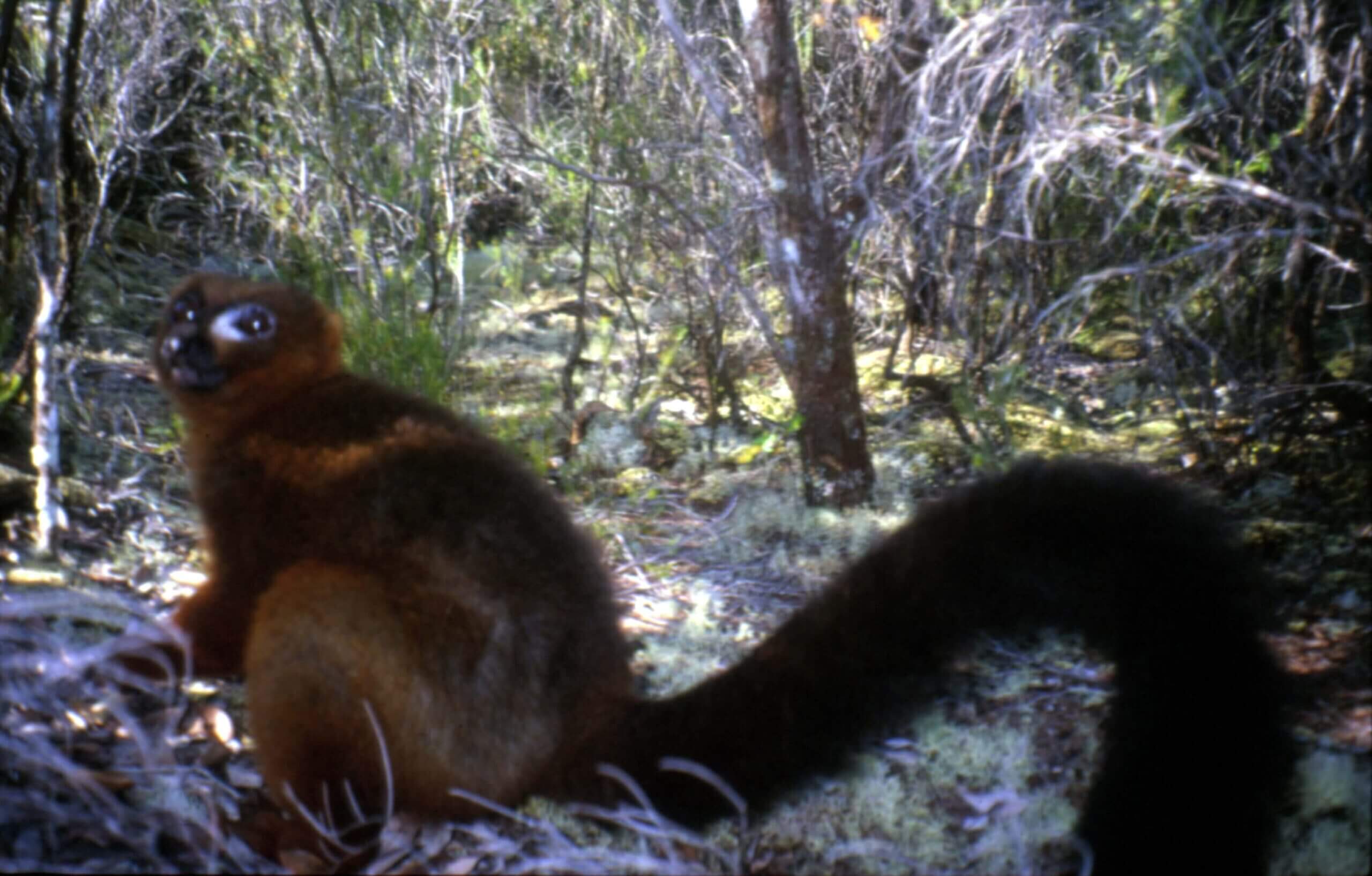
The region has two protected areas in: the classified forest of Fenoamby-South, a area of 3,180 ha and the classified forest of Manambondro-Nord, with an area of 2,319 ha, all two located in the district of Vangaindrano, as well as a special reserve: the “Special Reserve of Manombo”, with an area of 5,080 ha.Two main ethnic groups officially populate the Atsimo Atsinanana Region: the Antefasy (Farafangana) and Vondrozo) and the Antesaka (Vangaindrano, Midongy and Befotaka). To these are added other ethnic groups like the Bara, on the western part of Befotaka.
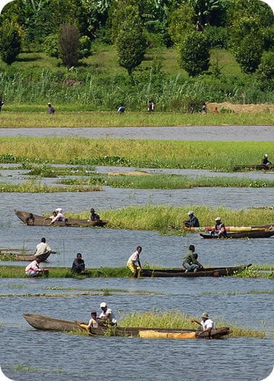
The Atsimo Atsinanana Region is home to a section of the Pangalanes Canal, particularly on its northern part, between Farafangana and Manakara. But, this stretch is only partially navigable. The cultivation of coffee, pepper and cloves is one of the specialties of the region. These products are an important source of income for the populations and their exploitation has given rise to sectors that have “boosted” the economic activities of the region. The Southeast, in particular, the Atsimo Atsinanana Region, is the second place of production of cloves in Madagascar, after the region of Analanjirofo. Clove crops in the region are localized mainly in Vangaindrano district.
Potential tourism resources include:
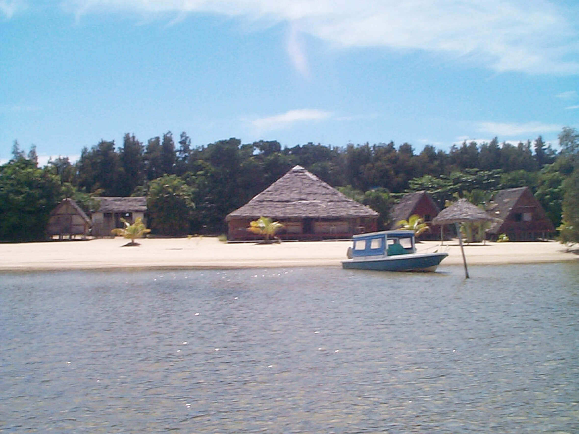
- the beaches of Sandravinany and Marosondry (in the extreme south-east of the district of Vangaindrano), Fenoambany (south of Vangaindrano), Ampatsinakoho (near the town of Vangaindrano) and Anofy (north of Farafangana;
- Sahateza mountain;
- the thermal spring of Ankazovelo in the district of Midongy;
- Masianaka Bay south of Vangaindrano
- the hills of Manambondro south of Vangaindrano;
- the Manombo Special Reserve in Farafangana;
- the Bezavo primary forests on the Vondrozo forest corridor;
- Midongy and Befotaka forests;
- cultural events, such as Hazolahy, Sery or Ringa;
- the cave of “Kotovavy” in the locality of Mandraraheloka, district of Befotaka ;
- Anosikely beach northeast of Farafangana… The beaches of Ampatsinakoho and Sandravinany are already popular holiday resorts regularly by local populations. The other sites mentioned above are, for the time being, only visited by scientists and connoisseurs.
The towns of Farafangana and Vangaindrano are nevertheless crossing points for tourists who choose to go to Fort-Dauphin by the Eastern route (Fianarantsoa, Manakara, Farafangana, Vangaindrano, Fort-Dauphin). The population of the region has expertise in the exploitation of small mines.
Gallery
See also other regions
Historically, Alaotra comes from the name of the large Lake Alaotra located in the middle of the Districts of Ambatondrazaka and Amparafaravola (the largest lake in Madagascar) while Mangoro is the name of the main river crossing Moramanga and Anosibe An’Ala from North to South. The Alaotra Mangoro Region is located on the highlands, about […]
The Amoron’i Mania Region located in the central part of the Southern Highlands (province of Fianarantsoa) consists of four (4) districts, namely Ambatofinandrahana, Ambositra, Fandriana and Manandriana. The region is limited to the north: by the Vakinankaratra region; to the east the region of Vatovavy Fitovinany and; to the south, by the region of Matsiatra […]
Antananarivo Renivohitra is the capital of the Analamanga Region. Antananarivo Renivohitra is the capital of the Analamanga Region. Located in center, and covering an area of 17,448 km². It is bounded by 5 regions: Betsiboka in the North, Itasy and Bongolava to the west, Alaotra Mangoro to the east and Vakinankaratra to the south. By […]

Also known as the “Malagasy capital of cloves1″, the Analanjirofo Region is located in the northeastern part of Madagascar and covers a perimeter of 22,384 km2. It is bounded by: – to the north by the district of Antalaha (SAVA Region); – to the south by the district of Toamasina II (Atsinanana Region) to the […]