


Androy

Located in the southwest of Madagascar, the Androy Region is located in the extreme south of Madagascar. It occupies the territory between the rivers Mandrare to the east and Menarandra to the West. It is bounded to the north by the mountainous foothills of the Bara Southern Highlands and to the south by the Indian Ocean and the Mozambique Channel. Its regional capital is Ambovombe which is about 1,000 km from the capital of Madagascar. The other districts that compose it are: Bekily, Beloha and Tsihombe. It is bounded to the east and north by the region of Anosy, by the districts of Amboasary Atsimo respectively and Betroka, to the west by the region of Atsimo Andrefana with the district of Ampanihy.
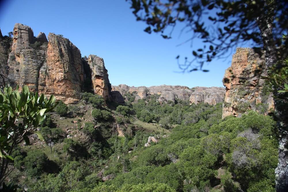
In its northern part bounded by the mountainous foothills of the Bara Southern Highlands, the Androy region is mountainous with altitudes between 1,046 and 1,190 m near Beraketa, at the western end of the horseshoe-shaped Ivakoana Range. In the South the crown formed by this chain, its central part, the altitude of which decreases from north to south, is formed by a vast flattened expanse (plateaus and peneplains from 300 to 600 m altitude) from which emerge isolated reliefs in inselbergs: it is limited to the west by the Menarandra River and the east by the Mandrare River. Crossed by this river in the area east of Antanimora-Atsimo, the western part of the volcanic massif of Androy is included in the region and presents two highlights: Manandavenoka at 504 m and Tsitsira at 820 m to the north (crystalline androy), there is a shrub savannah based on Poupartia caffra (Sakoa), next to which is still associated Flacourtia indica (Lamoty) and Celastrus linearis (Tsingilofilo).
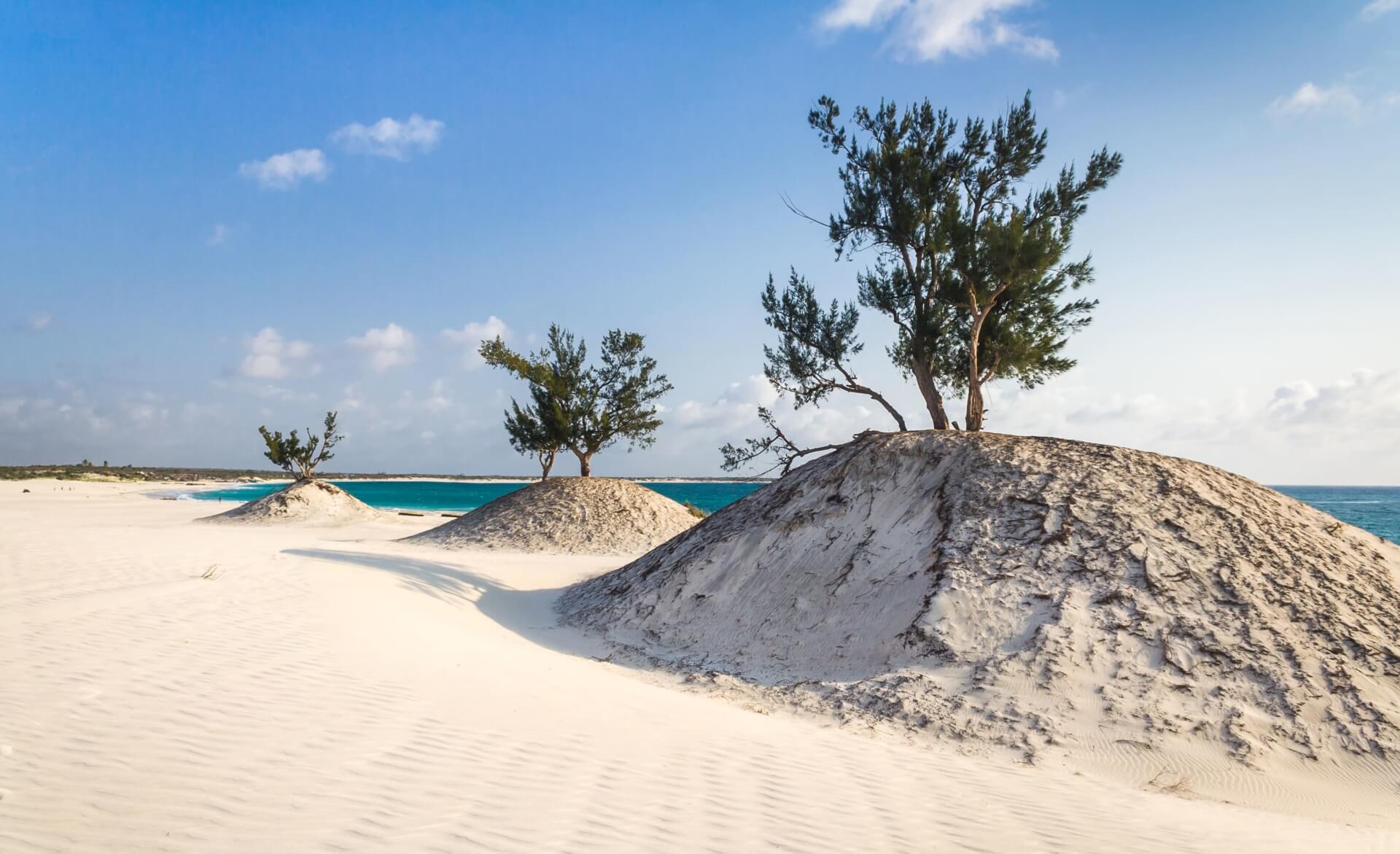
The coastal plain is covered with vegetation based on Stenotaphrum and Exonepus. These are savannahs and steppes in Aristide. Everyone is aware of the fame of theTrongatse /Vonenina /Madagascar periwinkle (Catharentus roseus) which is endemic to this and which has enabled the whole world to treat leukemia especially in children. Belonging to the sub-arid domain of southern Madagascar, the Androy Region is subject to a semi-arid to arid tropical climate with two distinct seasons: wet season (summer) and dry season. Aridity increases from the north and north-east to the south and south-west of the region and is reflected in changes in plant landscapes and soils. This aridity is amplified by temperatures always high and by strong, persistent and drying winds, especially on the coastal fringe southern part of the region. The climate remains warm throughout the region with annual averages ranging from 23°C (Ambovombe and Faux-Cap) and 24 °C (Beloha and Tsihombe), the winter is mild (19 ° to 20 ° C) except in the Vicinity of the mountainous areas of the Northeast where the altitude somewhat mitigates temperatures and summer averages 26°-27°C. The majority of the inhabitants of the region are of the Androy ethnic group. The region is inhabited by a number other ethnic groups, in particular the Antanosy, Mahafaly, Merina and Betsileo. The region with its unique biological, cultural and artisanal diversity, its 200 km of coastline, offers multitude of opportunities for the integrated development of tourism. The region is full of unique Androy crafts in several sub-sectors namely: basketry, cabinetmaking, jewellery, weaving, forgeon. The natural environment and the uniqueness of culture and crafts are tourist potentials Unique
The proximity of the region to the Anosy Integrated Growth Pole promises an increase significant movements of persons or goods, a large proportion of which must transit through the region to reach or go to Taolagnaro. From an environmental point of view, the Androy Region is very rich in biodiversity. It is part of the forestry training network unique in the world: thorn thickets. These thickets are classified among the richest ecosystems in the world with unique fauna and flora all these forest formations are also sources of raw materials for traditional pharmacopoeia and multi-purpose natural products.
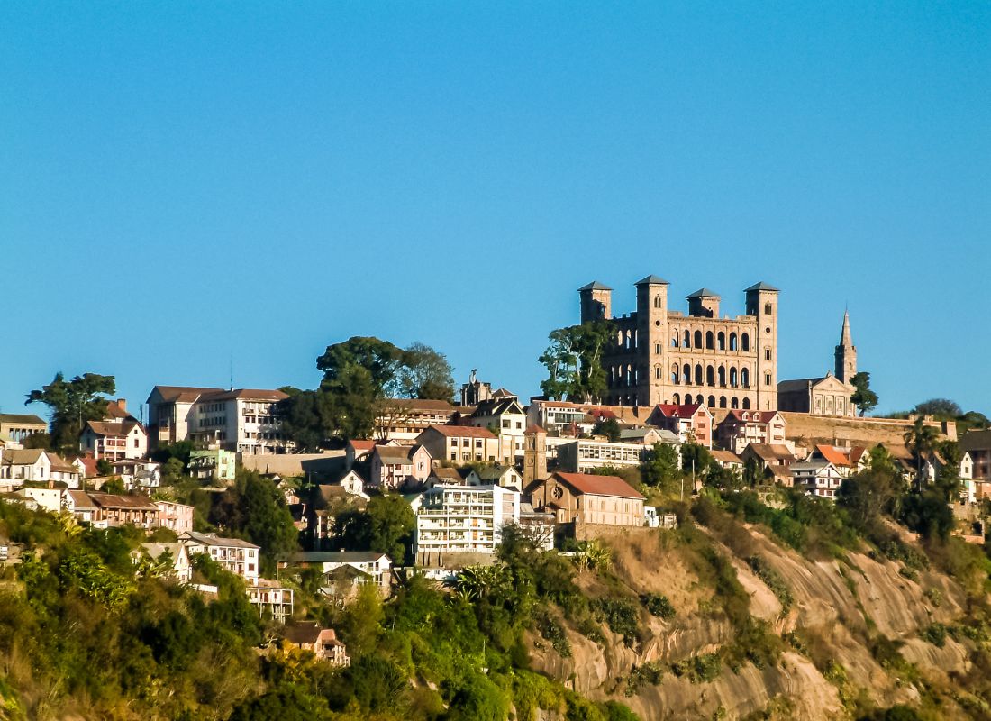
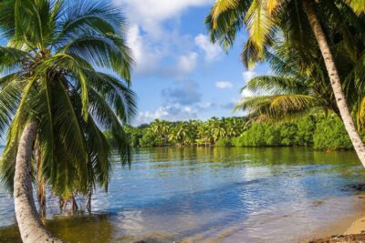
Gallery
See also other regions
Historically, Alaotra comes from the name of the large Lake Alaotra located in the middle of the Districts of Ambatondrazaka and Amparafaravola (the largest lake in Madagascar) while Mangoro is the name of the main river crossing Moramanga and Anosibe An’Ala from North to South. The Alaotra Mangoro Region is located on the highlands, about […]
The Amoron’i Mania Region located in the central part of the Southern Highlands (province of Fianarantsoa) consists of four (4) districts, namely Ambatofinandrahana, Ambositra, Fandriana and Manandriana. The region is limited to the north: by the Vakinankaratra region; to the east the region of Vatovavy Fitovinany and; to the south, by the region of Matsiatra […]
Antananarivo Renivohitra is the capital of the Analamanga Region. Antananarivo Renivohitra is the capital of the Analamanga Region. Located in center, and covering an area of 17,448 km². It is bounded by 5 regions: Betsiboka in the North, Itasy and Bongolava to the west, Alaotra Mangoro to the east and Vakinankaratra to the south. By […]
Also known as the “Malagasy capital of cloves1″, the Analanjirofo Region is located in the northeastern part of Madagascar and covers a perimeter of 22,384 km2. It is bounded by: – to the north by the district of Antalaha (SAVA Region); – to the south by the district of Toamasina II (Atsinanana Region) to the […]