Analamanga
Antananarivo Renivohitra is the capital of the Analamanga Region. Antananarivo Renivohitra is the capital of the Analamanga Region. Located in center, and covering an area of 17,448 km². It is bounded by 5 regions: Betsiboka in the North, Itasy and Bongolava to the west, Alaotra Mangoro to the east and Vakinankaratra to the south. By this geographical position, Analamanga does not have a sea trip. It hosts the devices central representatives of the country’s state administration, foreign diplomatic representatives, as well as the headquarters of most supporting organizations and donors.
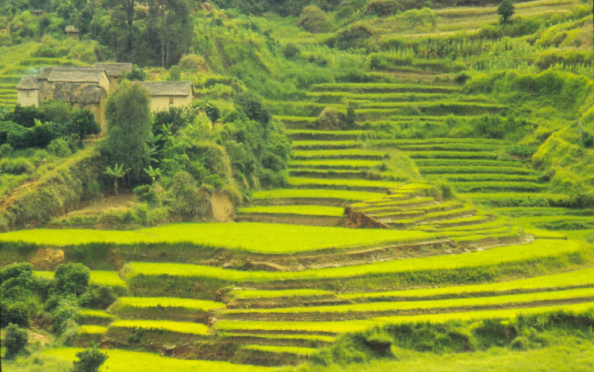
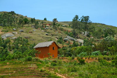
The Urban Commune of Antananarivo has a special status, due to its division into six districts. Ambohidratrimo, through the commune of Ivato Airport (located 15 km from downtown Antananarivo), is the main gateway by air to Madagascar. The center is characterized by its steep hills and floodplain.The East presents a very varied landscape. The district of Manjakandriana is formed by a succession of hills cut by a chaos of granite balls. This cascade of domes fades at the level of the district of Andramasina. In the north, the district of Ankazobe is part of the vast complex of Tampoketsa, erosion surface monotonous, uniform, interrupted by wide, long valleys followed by rivers at the bottom flat and bordered by gallery forests. On the other hand, the district of Anjozorobe (Northeast) presents a landscape, more open, with valleys separating the tanety. To the northwest, it is dominated by the Tampoketsa plateau. The valleys are less important. They become more and more entrenched from the plateau to the river Ikopa and are often limited to valleys occupied by gallery forests. To the south, this plateau is relayed by reliefs rocky aligned east-west in tiers.
To the south and east, the altitude decreases and the reliefs become more rugged. From the plains located to the around 1200 m are distributed around inhabited areas or streams: Betsimitatatra, de Manjakandriana in Anjozorobe, Mahitsy, around Ambatomanga-Anjeva, Ambohimanambola, bordering the Ikopa and its tributaries. The average temperature is 19°C for a maximum average temperature of 24.8°C with a maximum of 28.3°C in December and an average minimum temperature of 14°.2C with a minimum of 10.7°C in July. We notice that as we go down to the south (towards the Vakinankaratra region) there is a decrease in temperatures. The opposite phenomenon has place when heading west. In the Analamanga Region, the population is mainly composed of Merina. Immigrants such that the Betsileo disperse in small proportions in the districts of the northern and western part of the region. The Betsimisaraka and Bezanozano are located in the districts bordering the Eastern forestry. The Antandroy, as nomads, are a group that is gradually integrating into the region.However, the existence of Antananarivo Renivohitra, capital of Madagascar, implies the presence of all ethnic groups in Madagascar.
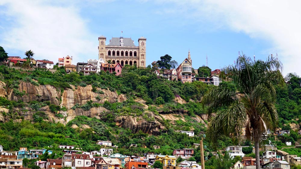
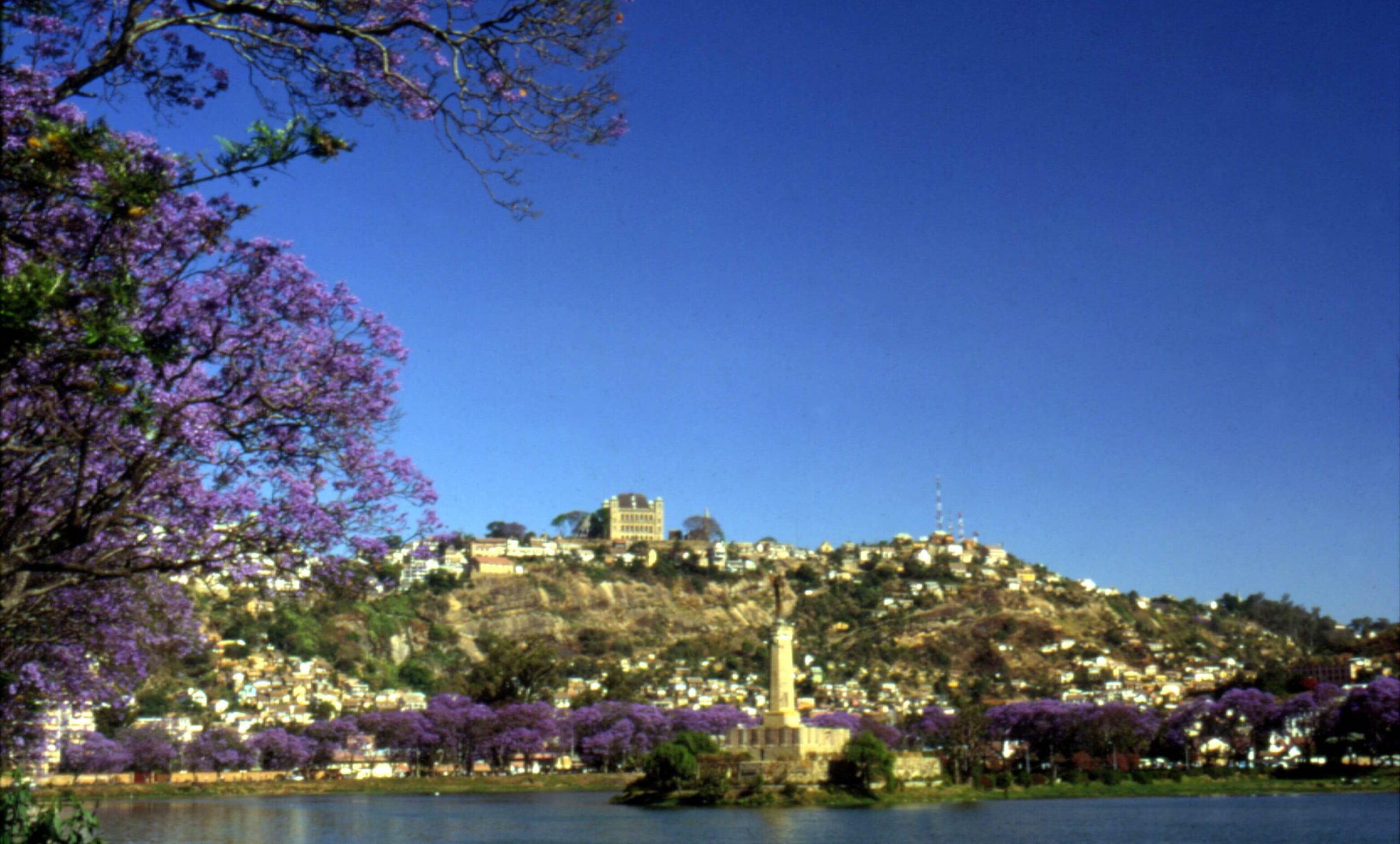
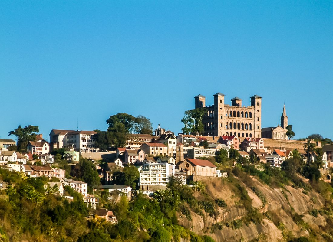
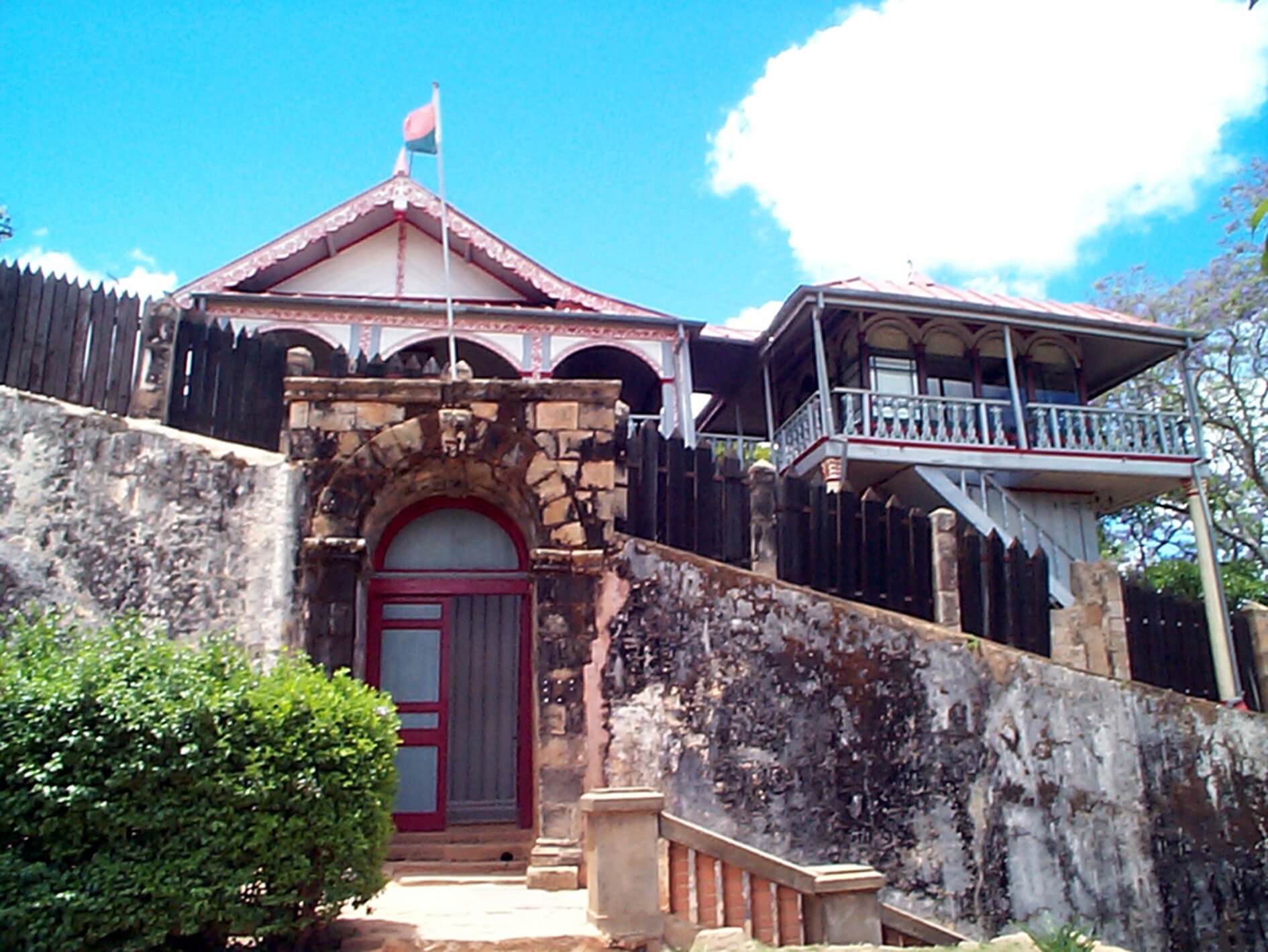
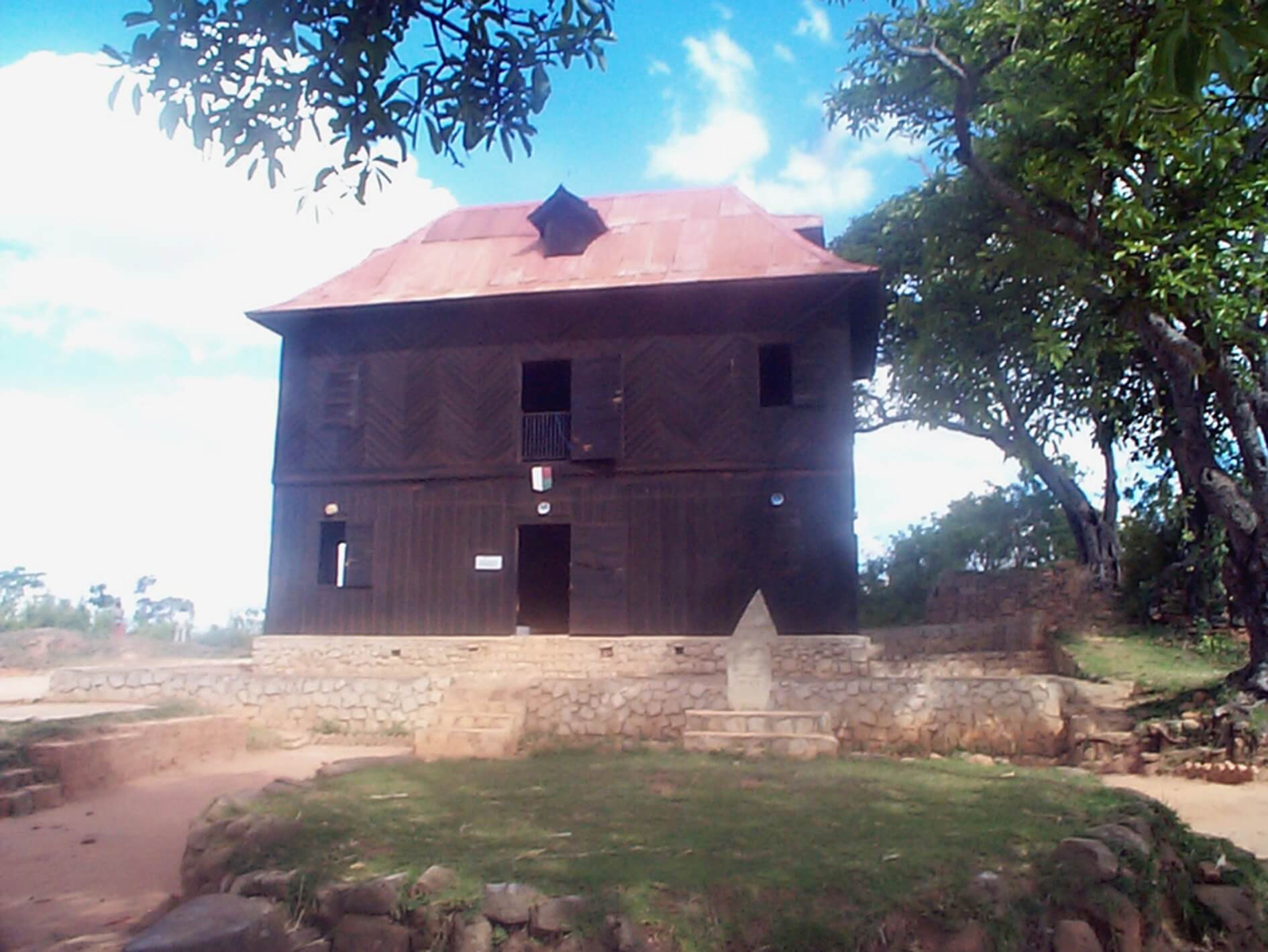
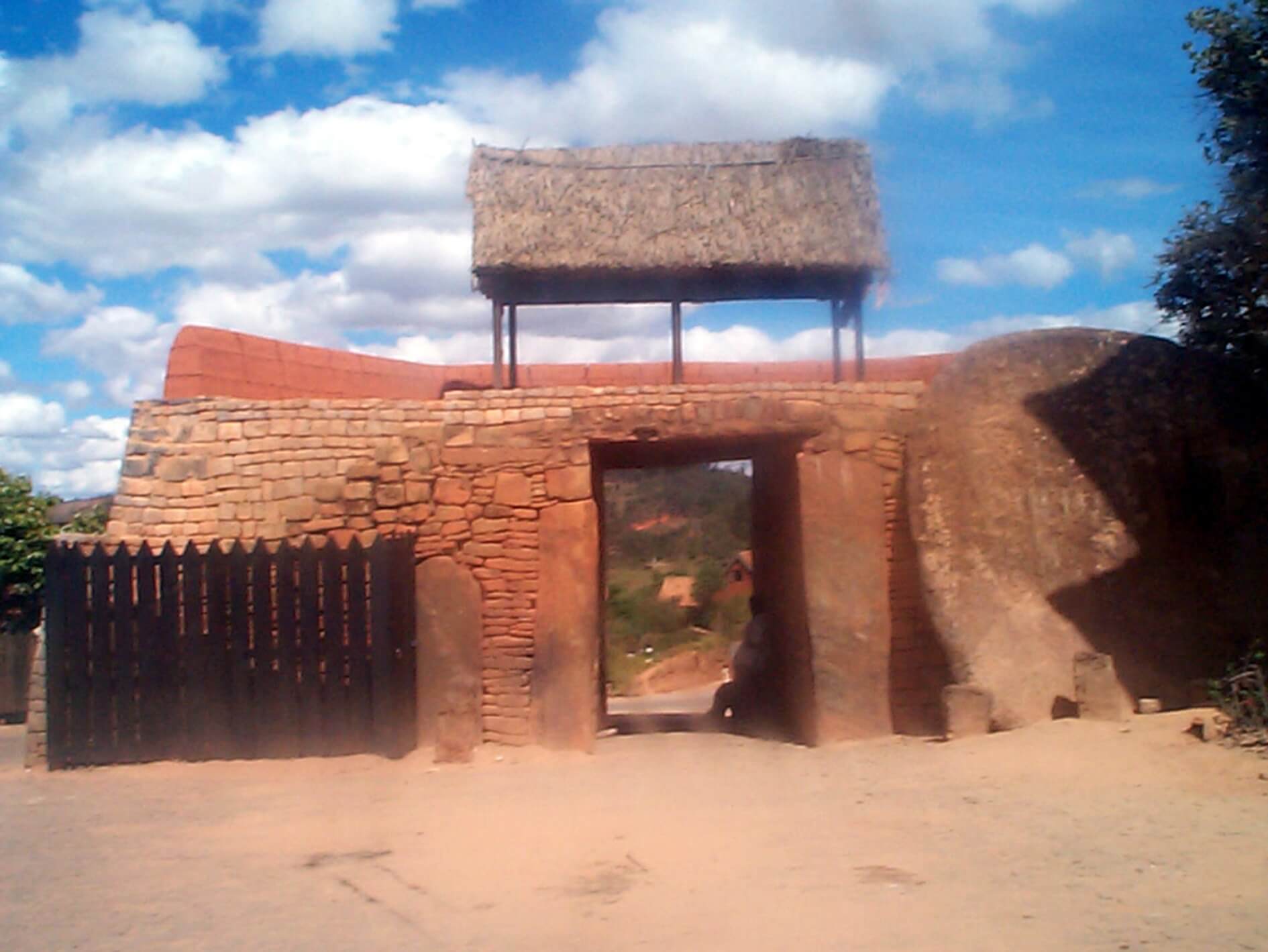
“Analamanga is full of tourist potential, linked to its geography and history. She has more than 70 tourist sites, half of which are in the capital. The best known are the sacred hills (where there are the palaces of Ambohimanga and Manjakamiadana), the palace of the Prime Minister, the Zoological and Botanical Park of Tsimbazaza, the lake and the Jean Laborde Museum
(Mantasoa), the Special Reserve of Ambohitantely (Ankazobe) and Lake Tsiazompaniry.
Tourism stakeholders embark on the establishment of new special reserves
(Merikanjaka, Andringitra,…) and the enhancement of existing sites and resorts (Anjozorobe, Angavokely), the identification and promotion of tourist circuits by District (including rural and village tourism).
Gallery
See also other regions
Historically, Alaotra comes from the name of the large Lake Alaotra located in the middle of the Districts of Ambatondrazaka and Amparafaravola (the largest lake in Madagascar) while Mangoro is the name of the main river crossing Moramanga and Anosibe An’Ala from North to South. The Alaotra Mangoro Region is located on the highlands, about […]
The Amoron’i Mania Region located in the central part of the Southern Highlands (province of Fianarantsoa) consists of four (4) districts, namely Ambatofinandrahana, Ambositra, Fandriana and Manandriana. The region is limited to the north: by the Vakinankaratra region; to the east the region of Vatovavy Fitovinany and; to the south, by the region of Matsiatra […]
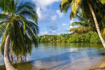
Also known as the “Malagasy capital of cloves1″, the Analanjirofo Region is located in the northeastern part of Madagascar and covers a perimeter of 22,384 km2. It is bounded by: – to the north by the district of Antalaha (SAVA Region); – to the south by the district of Toamasina II (Atsinanana Region) to the […]
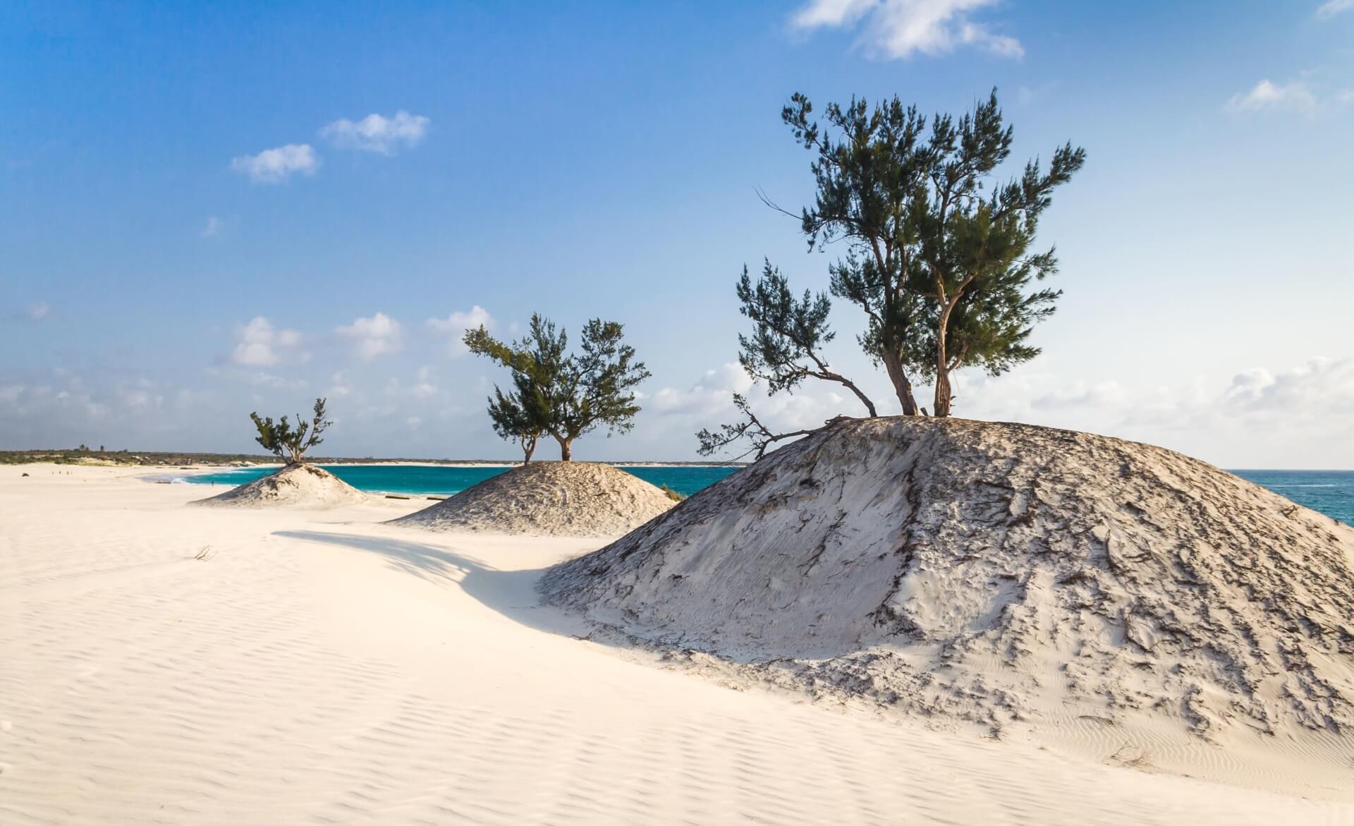
Located in the southwest of Madagascar, the Androy Region is located in the extreme south of Madagascar. It occupies the territory between the rivers Mandrare to the east and Menarandra to the West. It is bounded to the north by the mountainous foothills of the Bara Southern Highlands and to the south by the Indian […]


