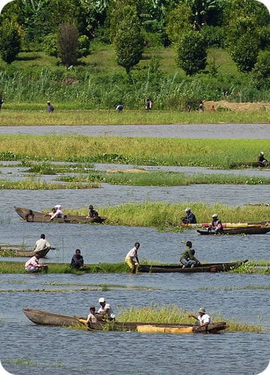
Alaotra Mangoro
Historically, Alaotra comes from the name of the large Lake Alaotra located in the middle of the Districts of Ambatondrazaka and Amparafaravola (the largest lake in Madagascar) while Mangoro is the name of the main river crossing Moramanga and Anosibe An’Ala from North to South.
The Alaotra Mangoro Region is located on the highlands, about 101 km northeast of the capital on the RN 2 (Moramanga). The capital of the region is Ambatondrazaka. This section on the physical setting will deal with all the physical aspects that characterize the Alaotra Mangoro Region. Located between 17° 19′ and 19° 90′ south latitude and 48° 12′ and 48° 39′ east longitude, the Alaotra Mangoro Region has an area of 33,441 km². It is elongated in shape in a submeridian direction of 400 km in length and an average width of 85 km. The Alaotra Mangoro Region is bordered by the following regions: – to the north by Mandritsara district, Sofia region, Mahajanga province; – to the north-west by the district of Tsaratanàna, region of Betsiboka, province of Mahajanga ; to the west by the districts of Anjozorobe and Manjakandriana, Analamanga region, Anatananarivo province; – to the south by the district of Marolambo, region of Antsinanana, province of Toamasina; – in the south-west by the Vakinankaratra region, province of Antananarivo; – to the east by the regions of Analanjorofo and Antsinanana.
- Temperature: The Alaotra Mangoro Region is characterized by a hot and humid tropical climate, with the influence of the trade wind all year round and average temperatures between 18 and 20 ° C. – The basin of Lake Alaotra is a semi-humid tropical climatic enclave of medium altitude with an average temperature of 21 to 22 ° C and has two well-marked seasons: – The upper Mangoro and Moramanga constitute on the other hand an area of the south-east trade wind: • Cool and dry season with light rains: Month of April to September; • Hot and rainy season: October to March.
- Rainfall The southern part, area of the districts of Moramanga and Anosibe An’Ala, is marked by the abundance of rains. On the other hand, the northern part often suffers from droughts and the need for water for crops is not met, only during the passage of tropical depressions. The average rainfall of the Lake Alaotra basin is 1,092 mm to 1,200 mm and 100 rainy days per year.However, the first rains in October are often followed by a dry period of 20 to 30 days, detrimental to crops and causing strong pressure on the lake by exaggerated fishing. For Upper Mangoro, the average annual rainfall is 1,500 to 2,000 mm, with less than 2 months of dry season.There are mists all year round and a winter with fine and frequent rains. This zone is thus characterized by dense deformations of woody.
- The Regional Development Plan for the region describes the ethnic composition of the Alaotra Mangoro Region. Thus, the Sihanaka constitute the largest majority of the population of the region, followed by the Merina by a distance.
Betsimisaraka come third ahead of Betsileo and Antandroy. The rest is composed of minority groups from the rest of the island. 46 Antsihanaka or the Alaotra Region is located north of Imerina and Bezanozano country ; south of the Tsimihety region, east of the Sakalava terroir, and west of the Betsimisaraka. This geographical position gives the population of the region a cosmopolitan character. There are three different groups within the Sihanaka ethnic group : – the Tamoronala who live near the equatorial forests, , and whose features are much more like Betsimisaraka; – the Tetivohitra, inhabitants of the hills and whose features and habits are similar to those of the Merina; – the Tanaroro who work on the shores of Lake Alaotra as pastoralists from the Tsimihety and Sakalava.
Cultures, Sports and Leisure play an important role in the socio-economic life of the population. Everyone is aware of the benefits of the practice of the activities inherent in these disciplines on the health, and therefore on the economy of the population in general. In addition, these disciplines make it possible to better supervise young people, particularly with regard to their education.
Processing activities in the Alaotra Mangoro Region are dominated by shells, which number 19, representing 1.7% of those in all Madagascar and having a weight of 30.2% compared to processing activities in the region. 63.2% of the Region’s shell shops are located in Amparafaravola. The districts of Moramanga, Andilamena and Anosibe An’Ala each have a shell. There is only one beverage industry identified in the region. It is located in Moramanga and represents 0.2% of the beverage industries of the entire island, as well as 1.6% of the processing activities in the region in terms of economic weight . The processing of agricultural products has 5 units in the region. There are 2 in Ambatondrazaka, 2 in Moramanga and 1 in Amparafaravola. They represent 1.3% of the total number of agricultural processing units in Madagascar and, in terms of weight, 7.9% of processing activities in the region.
The district of Amparafaravola is also a relatively important mining area. Three of its 17 municipalities have mining operations, with 353 operators. We find in this district Beryl, Quartz, Rose Quartz, Crystal, Ruby, Sapphire, Platinum, Gold, Emerald, Mercury, Cinnabar, etc. As for the district of Andilamena, it is an area with significant mineral resources insofar as 3 out of 4 municipalities have mining operations. In addition to the availability of mineral resources like those of other districts, there are gold, ruby, corundum gem and sapphire.
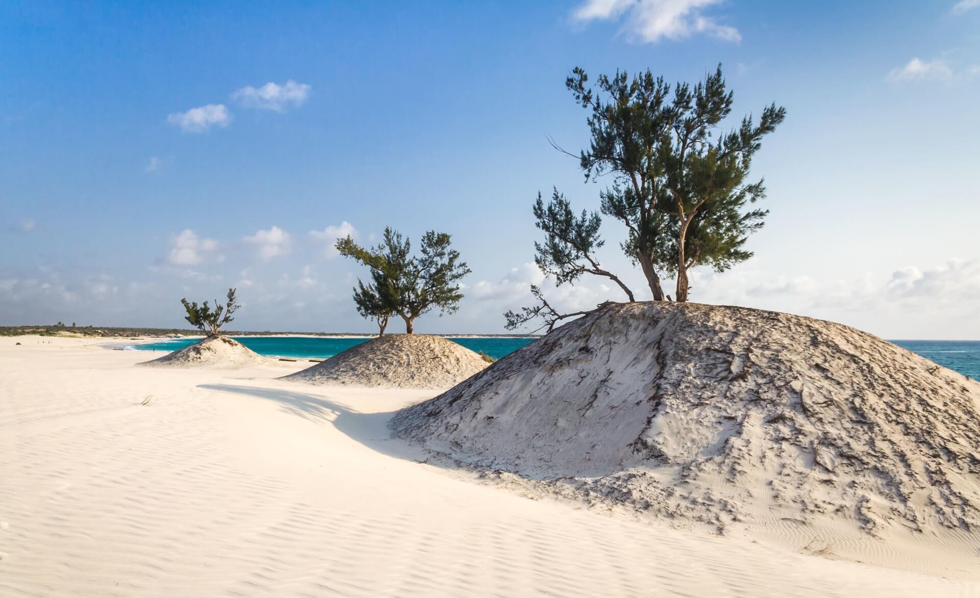
The Alaotra Mangoro Region is rich in tourist sites, most of which are parks and forest reserves, constituting habitats for the rich fauna and flora of the region. There are also lakes, waterfalls and even beaches. In addition, excursion and camping sites exist and make the reputation of the region. In addition to cultural and historical sites, hiking trails attract many both domestic and foreign tourists to Alaotra Mangoro.
The area has a total of 298 rooms and 106 bungalows. The district of Moramanga is the most well off in terms of accommodation infrastructure with its 125 rooms and 91 bungalows, constituting respectively 97% and 95% of those in the region. The restoration is also very developed, since the capital of the district is the crossroads linking the Alaotra Mangoro Region with the two most important regions in terms of economic interest and weight in Madagascar : Analamanga and Atsinanana. Thus, the number of covers in the district of Moramanga is 802, or nearly 65% of the entire region. The district of Anosibe An’Ala meanwhile, has only 12 rooms and 28 seats.
Gallery
See also other regions
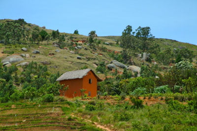
The Amoron’i Mania Region located in the central part of the Southern Highlands (province of Fianarantsoa) consists of four (4) districts, namely Ambatofinandrahana, Ambositra, Fandriana and Manandriana. The region is limited to the north: by the Vakinankaratra region; to the east the region of Vatovavy Fitovinany and; to the south, by the region of Matsiatra […]
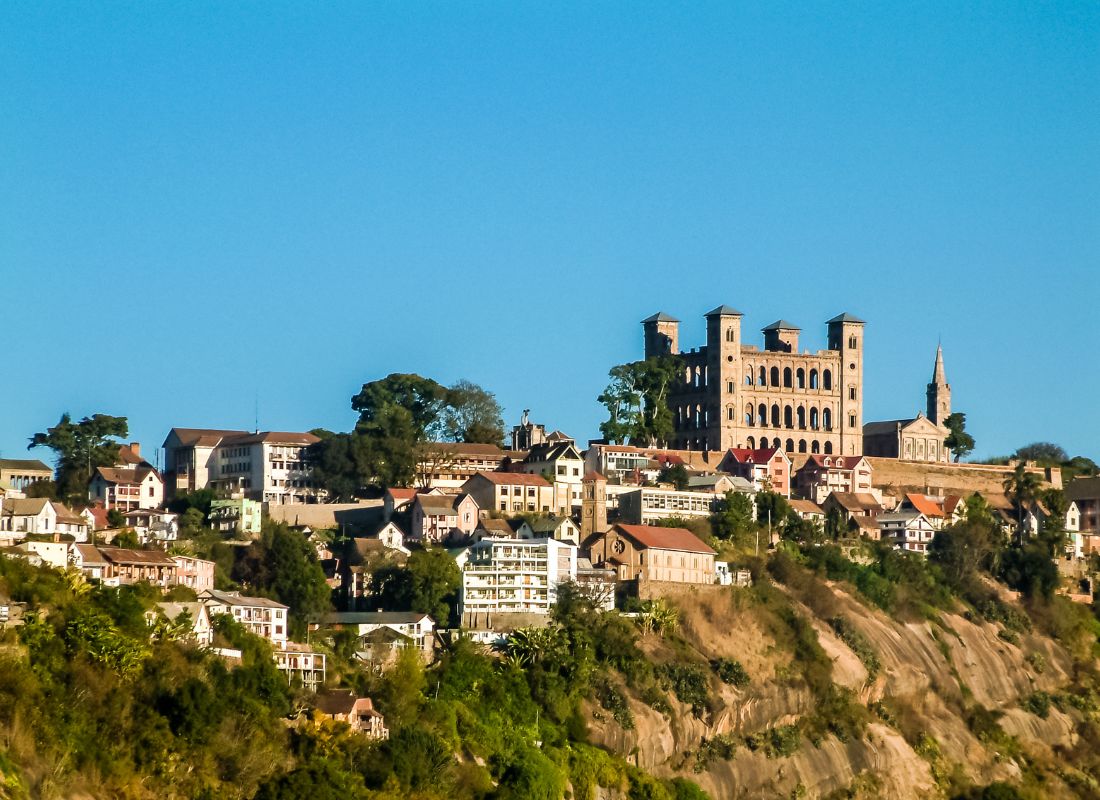
Antananarivo Renivohitra is the capital of the Analamanga Region. Antananarivo Renivohitra is the capital of the Analamanga Region. Located in center, and covering an area of 17,448 km². It is bounded by 5 regions: Betsiboka in the North, Itasy and Bongolava to the west, Alaotra Mangoro to the east and Vakinankaratra to the south. By […]
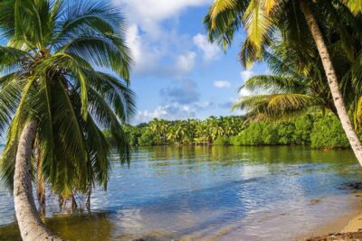
Also known as the “Malagasy capital of cloves1″, the Analanjirofo Region is located in the northeastern part of Madagascar and covers a perimeter of 22,384 km2. It is bounded by: – to the north by the district of Antalaha (SAVA Region); – to the south by the district of Toamasina II (Atsinanana Region) to the […]
Located in the southwest of Madagascar, the Androy Region is located in the extreme south of Madagascar. It occupies the territory between the rivers Mandrare to the east and Menarandra to the West. It is bounded to the north by the mountainous foothills of the Bara Southern Highlands and to the south by the Indian […]


