Itasy
The Itasy region is located on the central highlands of the island, almost in the center of the province of Antananarivo and Madagascar. Its capital, Miarinarivo, is located 88 km away and its border is 11 km from the capital, on the RN1. It is bounded by:
- in the north-east, by the Analamanga region;
- in the north-west and west, by the Bongolava region,
- to the South and South-East, by the Vakinakaratra region.
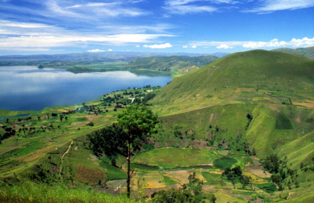
The Itasy region is characterized by the presence, almost everywhere, of fairly high massifs in the interior from which three characteristic units emerge. To the east, the foothills of Ankaratra are massifs with convex slopes that fall on valleys of varying width (sectors of the eastern part of Arivonimamo and Imerintsiatosika)
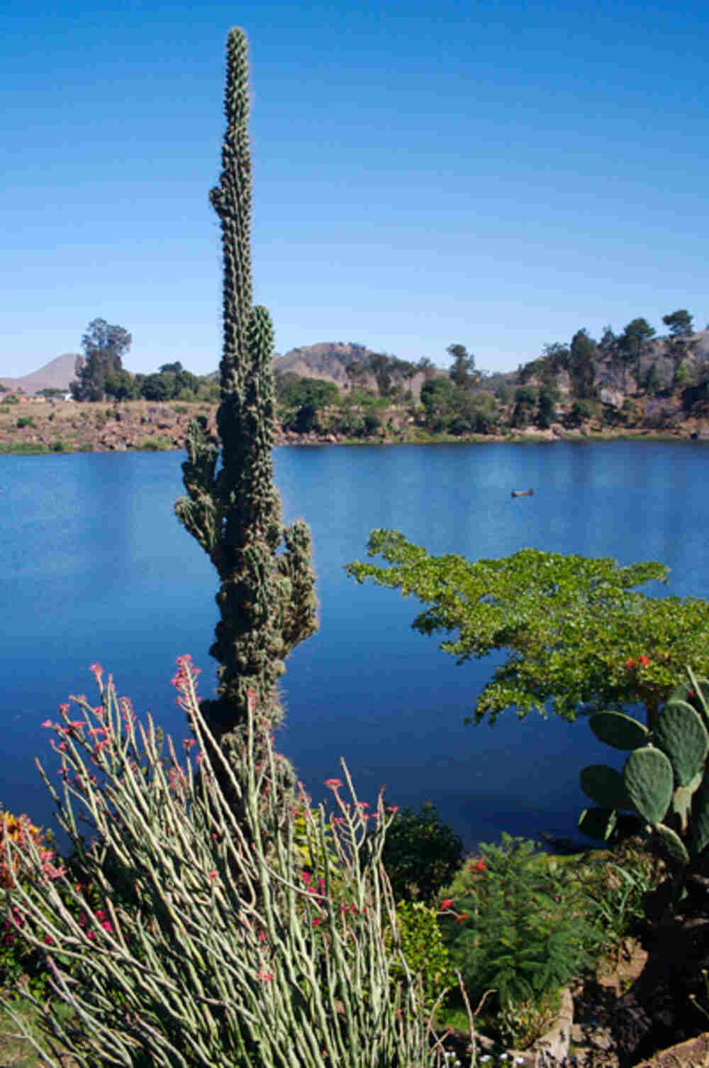
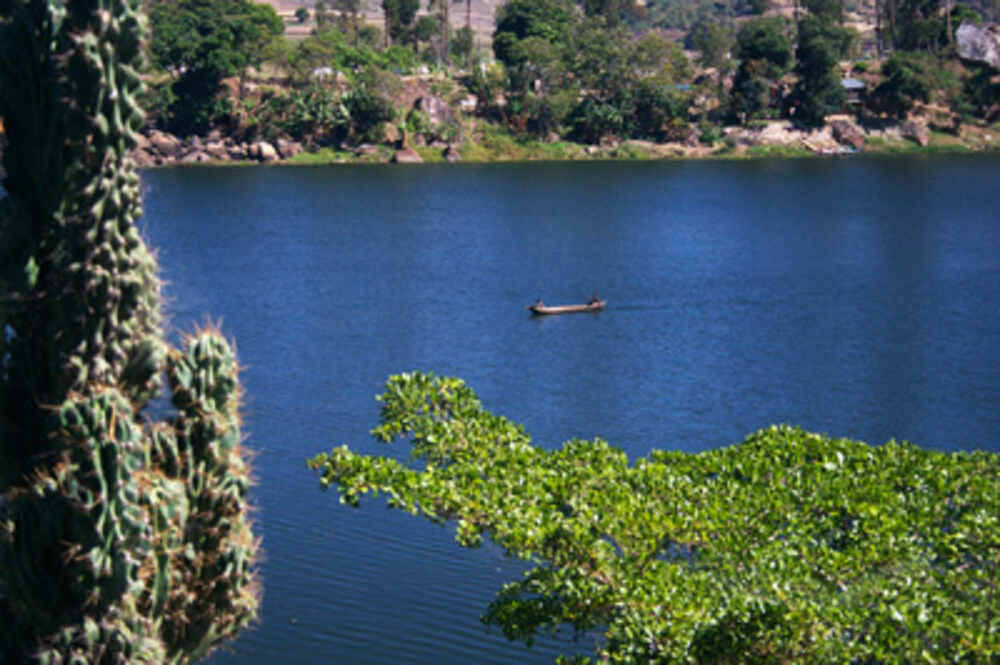
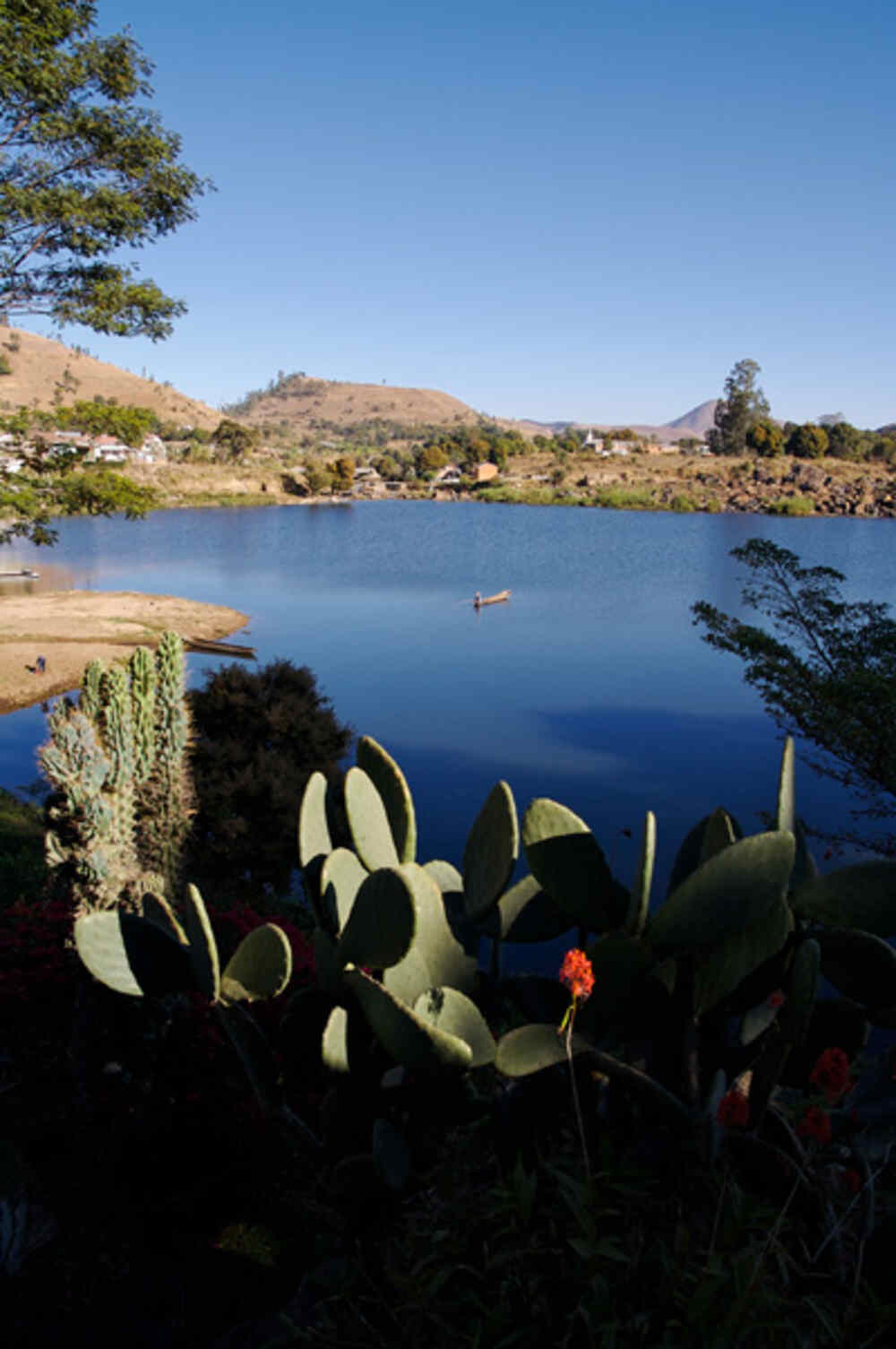
In the Centre, the high massifs are characterized by a very rugged relief with very steep slopes and very steep valleys (Soamahamanina and Miarinarivo sectors), To the west, the Lake Itasy complex offers in its western part a more airy relief with plains and wider valleys (sectors of Analavory, Ifanja and Soavinandriana). ITASY is one of the richest regions in lakes. To date, 51 units have been identified. (i) 40 lakes (78%) are located in Miarinarivo district, of which the most important are Mahiatrondro, Ambatomilona and Antamolava, (ii) 9 lakes (18%) are in the district of Soavinandriana, the most important of which is that of Piliana, and (iii) 2 remaining lakes (4%) are located in the district of Arivonimamo. These lakes are important factors for which the region is renowned for aquaculture, tourism and eco-tourism. However, environmental degradation, characterized above all by erosions, constitutes a real threat to the lakes of Itasy, which are increasingly silted.
There are two distinct areas in the Itasy region with regard to climate:
Eastern and Central parts, and the western parts. Table 02 shows the climatological characteristics of the Itasy region. There are two distinct seasons in the region: hot and humid from the month onwards. from October to April, cool and dry the rest of the year.
In the East and Centre, the average temperature is 26.7° in January and 7.1° in August. The municipalities surrounding Ankaratra such as Manalalondo and Soavinandriana experience a very low temperature in winter. A violating wind named Mamolakazo blows in Miarinarivo district in July. In the West, on the other hand, this average temperature is much higher, respectively 28° and 10°.
The region belongs to the Central Ecoregion and is part of the western ecofloral zone of medium altitude (from 800 to 1800 m). The types of natural formations observed are sclerophyllous forests of medium altitude and interspersed with savannah more or less wooded. This type of natural forest is mono specific because essentially composed of the species Uapaca bojeri commonly called with a total area of 10,693.87 ha. The tapia forest is the main forest wealth of the region. It is located in the districts of Arivonimamo and Miarinarivo. Its interest is as well ecological (endemic) than economic. Indeed, the Tapia forest is the natural habitat of the silkworms, origin of wild silk, called “Landibe”
The terrestrial fauna in the Itasy region is mainly represented by environmental species Open not necessarily forest. Most species are endemic to Madagascar but none are endemic to the Itasy Region. The main species found in the region are:
– Reptiles: 6 terrestrial species out of the 9 inventoried including 3 threatened, 1 Boidae: Acrantophis
Madagascariensis or Do (IUCN, vulnerable), 2 Chamaeleonidae: : Furcifer lateralis or Tanalahy and Furcifer oustaleti or Sakorikita bevata (CITES Appendix II)
Birds: 25 terrestrial species out of the 37 inventoried, of which 5 are threatened governed by CITES, 1 Psittacidae: Agapornis cana (Sarivazo), 1 Accipitridae: Milvus migrans (Papango or Black Kite), 3 Falconidae: Falco concolor (Tomaimavo), Falco newtoni (Hitsikitsika) and Falco peregrinus (Voromahery or Peregrine Falcon). And 1 other threatened raptor bird is listed as vulnerable in the IUCN Red List: the Malagasy Harrier Circus macrosceles (Accipitridae).
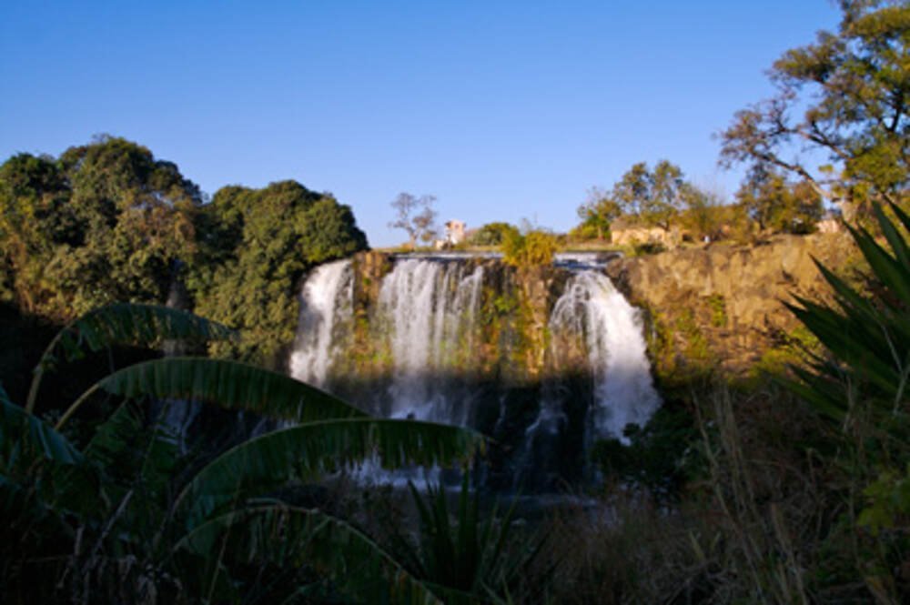
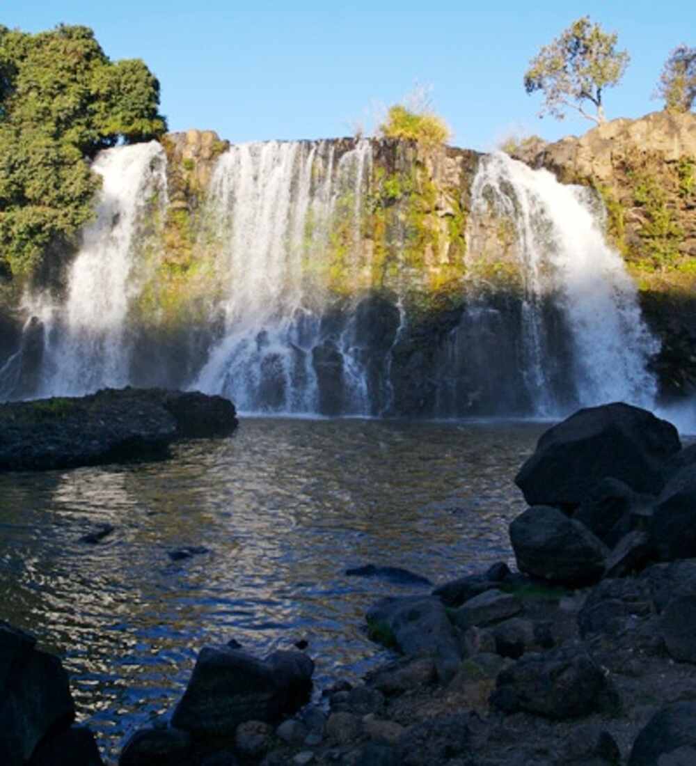
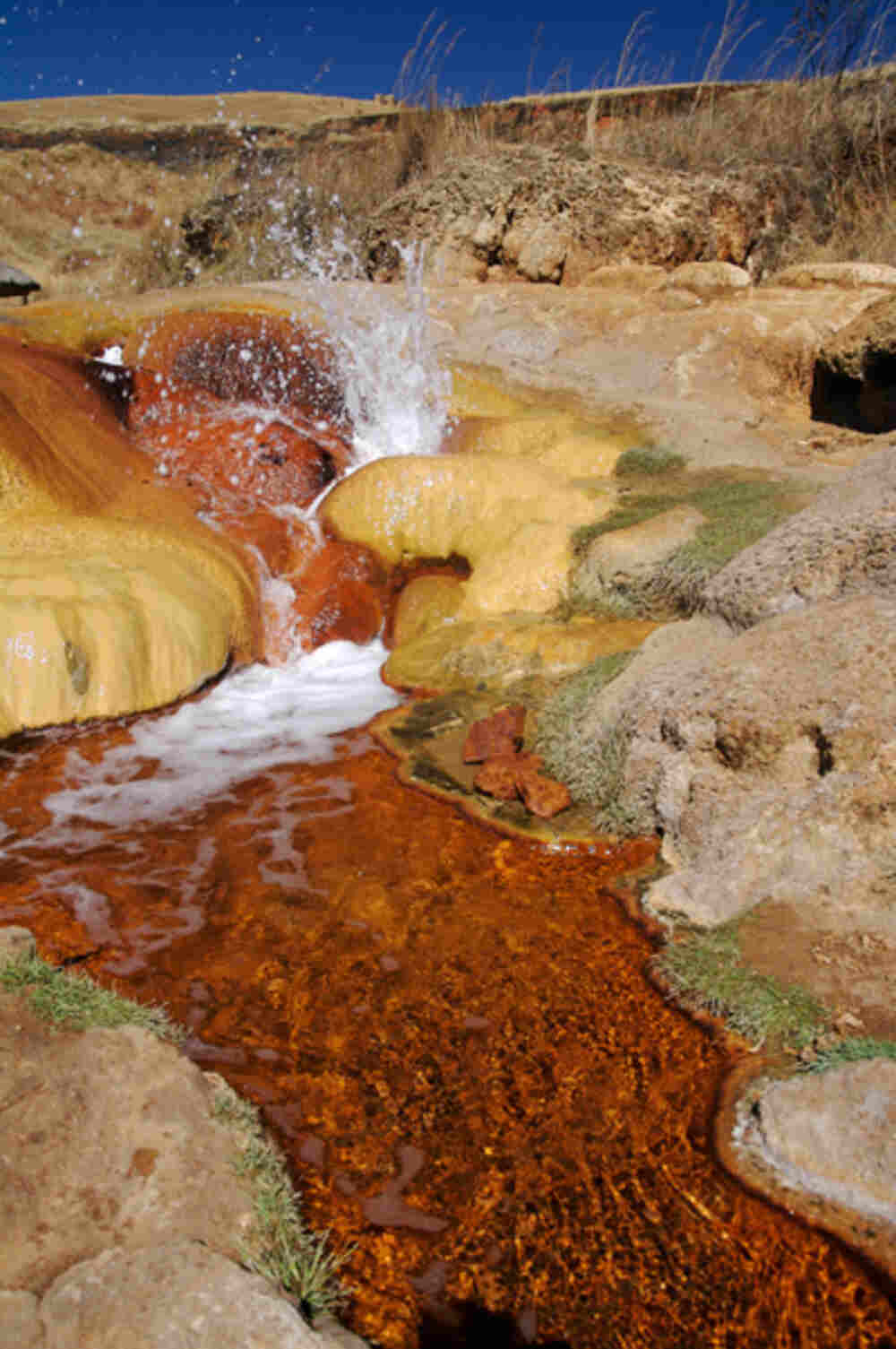
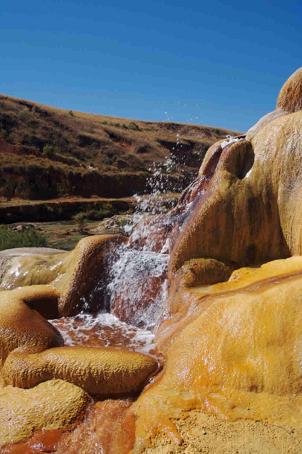
Mammals: the mammalian fauna of the region is not known due to the non-existence of scientific data. Nevertheless, it is reported the presence of a Propithecus (Lemur Indriidae) in some riparian forests along the Kitsamy and Sakay rivers, in the Soavinandriana district (Source: CIREEF Miarinarivo, 2007, TBER Itasy Technical Committee, 2007). Technical Committee TBER Itasy, 2007). But it is 30 still impossible to know if they are the same Propithecus coronatus or Propithecus deckenii of the areas bordering the western part of the Bongolava region which are threatened species (IUCN and CITES). The Itasy region is rich in historical, cultural, and environmental heritage. It is indeed a region with significant tourist potential, if we mention only the islet of the Virgin which is the epicenter of Madagascar, Analavory geysers, Lilly waterfall, Lake Itasy and Lake Antaboaka.
Gallery
See also other regions
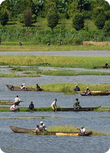
Historically, Alaotra comes from the name of the large Lake Alaotra located in the middle of the Districts of Ambatondrazaka and Amparafaravola (the largest lake in Madagascar) while Mangoro is the name of the main river crossing Moramanga and Anosibe An’Ala from North to South. The Alaotra Mangoro Region is located on the highlands, about […]
The Amoron’i Mania Region located in the central part of the Southern Highlands (province of Fianarantsoa) consists of four (4) districts, namely Ambatofinandrahana, Ambositra, Fandriana and Manandriana. The region is limited to the north: by the Vakinankaratra region; to the east the region of Vatovavy Fitovinany and; to the south, by the region of Matsiatra […]
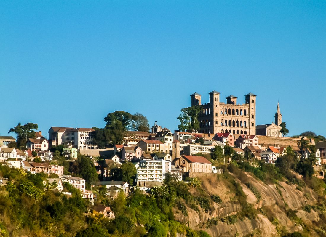
Antananarivo Renivohitra is the capital of the Analamanga Region. Antananarivo Renivohitra is the capital of the Analamanga Region. Located in center, and covering an area of 17,448 km². It is bounded by 5 regions: Betsiboka in the North, Itasy and Bongolava to the west, Alaotra Mangoro to the east and Vakinankaratra to the south. By […]
Also known as the “Malagasy capital of cloves1″, the Analanjirofo Region is located in the northeastern part of Madagascar and covers a perimeter of 22,384 km2. It is bounded by: – to the north by the district of Antalaha (SAVA Region); – to the south by the district of Toamasina II (Atsinanana Region) to the […]


