


Sofia


The Sofia region is located in the province of Mahajanga located on the northwest coast of Madagascar. Extending between 14° and 17° south latitude and 47° and 49° east longitude. It constitutes a vast territory covering an area of 52,503 km² or about 8.5% of the Big Island and 33.4% of the province. The capital of the region, Antsohihy is located about 440 km from Mahajanga, on the RN6 which goes to Antsiranana.
The Sofia region is bounded to the north by the Diana and SAVA regions, to the east by the Analanjirofo region, to the south by the regions of Betsiboka, Boeny and Alaotra Mangoro and to the west by the Mozambique Channel.
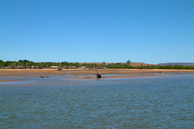
The region is composed of 7 districts: Antsohihy, Analalava, Mampikony, Bealanana, Port-Bergé, Befandriana, Mandritsara; 108 communes and 1,329 fokontany. It covers a total area of 52,503 km² and the average area of Fokontany is 39.5 km2. The coastline is formed by coastal plains that are dotted with forested volcanic forms. The continental inputs of the rivers as well as the level of the tides have developed salt mud, colonized by mangroves favorable to the development of fisheries.
The Sofia region has a sub-semi-humid climate characterized by two distinct seasons, dry from May to October, humid from November to April. It varies according to altitude, plateaus North being less watered and cooler than coastal areas. It is warmer on the coasts than on the plateaus (Bealanana Mandritsara). The temperatures of the region are quite favorable for agriculture. The temperature varies according to the climate and altitude. It is markedly high on coastal areas, where the average annual temperature reaches 26 °C. In the dry season, it drops to 13.7 ° C in Bealanana which is at 1,125 m altitude.
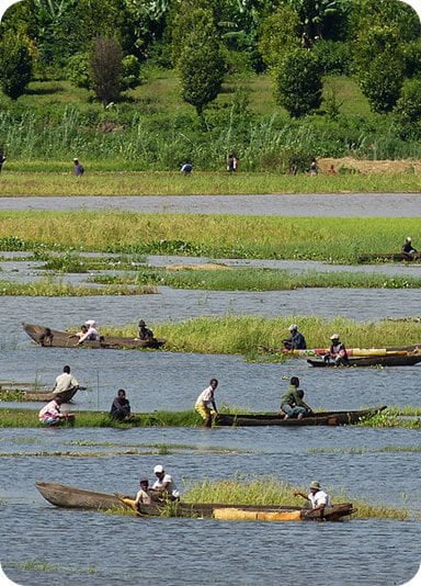
Almost 80% of the population consists of Tsimihety except in Analalava where the majority of the inhabitants are rather Sakalava fishermen. However, Sofia is a multi-ethnic region where all ethnic groups are present. There are many more people from the South-East and the South in the districts producers of industrial crops Mampikony and Port-Bergé. People from the highlands prefer lowland areas favourable to rice cultivation and vegetable crops. 25% of the population of Bealanana are formed from Sihanaka. The presence of the sun throughout the year, the extent of more than 150 km of beaches, the existence of paradisiacal islands, the presence of eco-tourist sites, the proximity of Nosy Be make the region a destination with strong tourist and eco-tourism potential, even if currently, we can say that the sector is still virgin. According to the region’s DRP, the existence of many forest sites
and marine not yet exploited and a tropical forest home to several endemic species where the most of these sites are erected as Protected Areas are no longer to be demonstrated. The latter constitute, par excellence, what is defined by ecological and environmental resources that could effectively promote the development of tourism and especially eco-tourism sectors.
: the presence of whales during the month from June to September. It can organize events every year to attract tourists. Other real untapped tourism potential exists in the region. Trecking could be organized on the following circuits, in collaboration with
Other regions:
- Mandritsara-Mananara North: passing from the core zone to the Biosphere Reserve of Mananara-North which is a refuge for rare species.Mandritsara-Andilamena : circuit that passes through the special reserve of Ambiniviny near Marotandrano home to rare lemurs such as Indri-Indri, Aye-Aye, Sifaka, fosa, insects, Reptiles and endemic birds, not to mention orchids.
- Bealanana-Andapa: passing through the foothills of Mount Tsaratanàna which combines with 2,876 m. The visit of the forest reserves with endemic species of lemurs, reptiles, crocodiles of the Maevarano River, endemic birds;
- The visit of the forest of Bora with its botanical garden;
- The RN6 axis and west side.
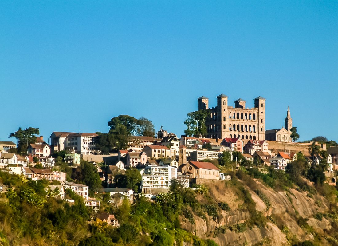
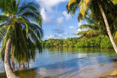
Gallery

See also other regions
Historically, Alaotra comes from the name of the large Lake Alaotra located in the middle of the Districts of Ambatondrazaka and Amparafaravola (the largest lake in Madagascar) while Mangoro is the name of the main river crossing Moramanga and Anosibe An’Ala from North to South. The Alaotra Mangoro Region is located on the highlands, about […]
The Amoron’i Mania Region located in the central part of the Southern Highlands (province of Fianarantsoa) consists of four (4) districts, namely Ambatofinandrahana, Ambositra, Fandriana and Manandriana. The region is limited to the north: by the Vakinankaratra region; to the east the region of Vatovavy Fitovinany and; to the south, by the region of Matsiatra […]
Antananarivo Renivohitra is the capital of the Analamanga Region. Antananarivo Renivohitra is the capital of the Analamanga Region. Located in center, and covering an area of 17,448 km². It is bounded by 5 regions: Betsiboka in the North, Itasy and Bongolava to the west, Alaotra Mangoro to the east and Vakinankaratra to the south. By […]
Also known as the “Malagasy capital of cloves1″, the Analanjirofo Region is located in the northeastern part of Madagascar and covers a perimeter of 22,384 km2. It is bounded by: – to the north by the district of Antalaha (SAVA Region); – to the south by the district of Toamasina II (Atsinanana Region) to the […]